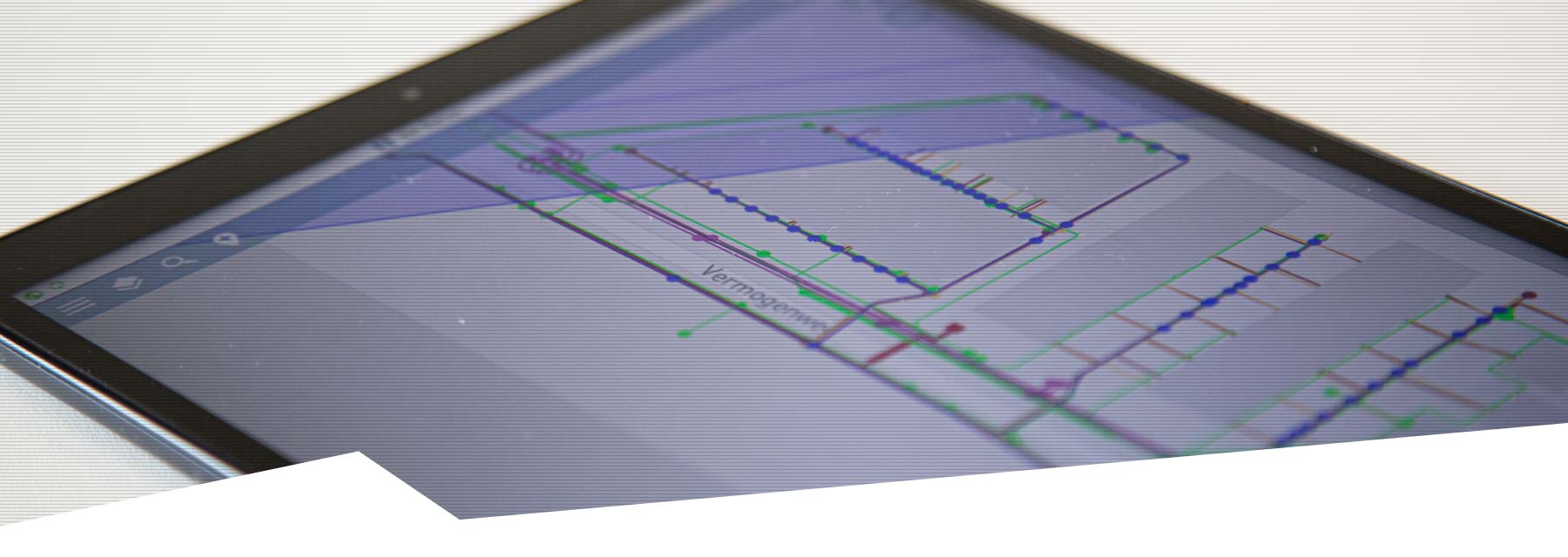
Our GIS fieldwork applications help you make the most of what we call the technology of the where. Harness the power of location to get better geospatial data and work more efficiently in the field. With our applications, you can completely replace inefficient paper-based processes and streamline your workflows. By ensuring everyone in the field and office has the same data, you can reduce errors, increase productivity and realise significant cost savings.
You can use our GIS solutions to work with all major Geographic Information System platforms. Both MyCumulus and Geolantis360 have comprehensive functionality to serve as a complete cloud-based data collection platform to map, mutate, visualise and manage your geospatial data. All our applications have full support for Stonex GNSS hardware so that we can always offer you the best overall solution of your preference.