

Curious how Pix4Dmapper drone mapping software works? Follow the instructional videos on this page to get off to a flying start. New videos will be added as they become available.
Pix4Dmapper tutorial 1
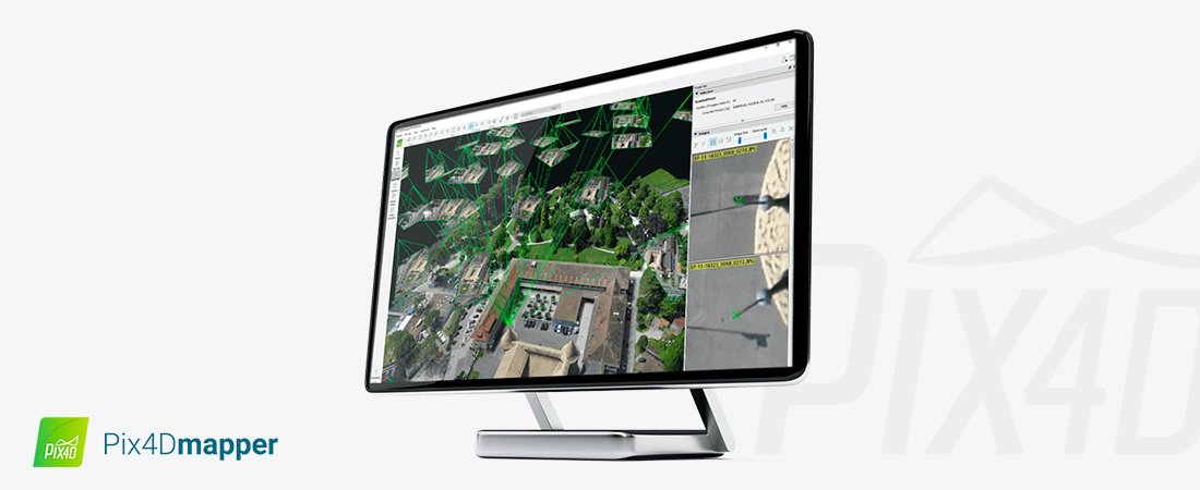
Getting started with your first Pix4Dmapper project
We help you in this Pix4Dmapper tutorial video uploading images (or you can use a sample project), the best technical settings to correct and process your Pix4Dmapper project. You create a 3D reconstruction of images with output data, including a point cloud, 3D mesh, orthomosaic and more.
Pix4Dmapper tutorial 2
Precise georeferencing in Pix4Dmapper
In this Pix4Dmapper how-to video, we explain accurate georeferencing in Pix4Dmapper, including some essential steps to take before acquiring images (and what to do instead if you can’t). Accurate geo-referencing situates your drone mapping project, allows you to take measures and improve image processing time.
Pix4Dmapper tutorial 3
Measure distances, surfaces and volumes in 3D
In the previous Pix4Dmapper instructional video, we got started with Pix4Dmapper and emphasized the importance of accurate georeferencing (and how to achieve it). This video explains how to make accurate measurements in your 3D model or orthomosaic.
Pix4Dmapper tutorial 4
Accurate maps and 3D models with tie points
Tie points, ATPs, MTPs, GCPs, checkpoints and check-shots – whatever you call this step, it’s essential for creating accurate 3D models and maps in Pix4D. In this instructional video we explain how images can be linked for a more accurate reconstruction of reality. Plus: Do you need ground control points and when and where to add them?
Pix4Dmapper tutorial 5
Merging projects in Pix4Dmapper
Learn how to merge projects in Pix4Dmapper in this tutorial video. Manage large projects or combine nadir, oblique and terrestrial images in a single output.
Pix4Dmapper tutorial 6
Enhance your projects with the Mosaic Editor
In this Pix4Dmapper tutorial video we cover the basics of the mosaic editor, including removing ghosting and other artifacts, color mapping and improving the appearance of your latest orthomosaic map.
Pix4Dmapper tutorial 7
Sequoia Camera
The Multi-spectral Sequoia camera captures information from both visible and invisible light, providing better data. In this Pix4Dmapper instructional video we cover the use of the Sequoia, its settings and how to process images in Pix4D.
Pix4Dmapper tutorial 8
Pix4Dmapper Index Calculator
The Pix4Dmapper Index Calculator is a precision farming tool. Among other things, this allows you to generate an index map / index grid where the “color” of each pixel is calculated using a formula that combines different bands of the reflection map(s).
Pix4Dmapper tutorial 9
How do you create a 3D “fly-through” video animation in Pix4D?
Pix4Dmapper tutorial 10
Guaranteeing quality and accuracy in Pix4Dmapper
Watch this video to learn all about the quality assessment in Pix4Dmapper. We look at four different methods (visual inspection reconstruction, quality report, projection rayCloud, checkpoints) to ensure that your project looks good and is accurate in Pix4Dmapper.
Pix4Dmapper tutorial 11
Orthoplane: learn how to make an orthomosaic of a facade with Pix4D
Pix4Dmapper tutorial 12
Getting started with Pix4Dmodel
Everything you need to know about creating 3D models with Pix4Dmodel.
Pix4Dmapper tutorial 13
Automatic DTM generation and contour lines
What is a DTM? What is the difference between a DTM and a DSM. How do they relate to contour lines? Watch this video to learn more about automatically generating a DTM in Pix4Dmapper drone software.
Pix4Dmapper tutorial 14
Elevation and Vertical Coordinate System
What is a vertical coordinate system? Learn how to measure heights in Pix4Dmapper drone software.
Pix4Dmapper tutorial 15
Add a new camera model in Pix4Dmapper
Is your camera not in the camera model database? Or maybe you have two lenses? Learn how to add a camera model to the database for calibration in this how-to video.
Pix4Dmapper tutorial 16
Reduce the processing time of drone projects
Before you watch this tutorial video, the latest release of Pix4Dmapper has already reduced processing time by 25%.
Pix4Dmapper tutorial 17
Getting started with the Pix4Dcapture app for Android and iOS
Learn how to get started quickly with the Pix4Dcapture app. This instructional video also includes some basic troubleshooting.
Pix4Dmapper tutorial 18
Editing the 3D point cloud
If you want to remove noise/features or classify points into groups, this tutorial video will show you how to edit the 3D point cloud.
If you have any questions about the instructional videos, please don’t hesitate to contact us. Our Support Engineers are ready for you!