
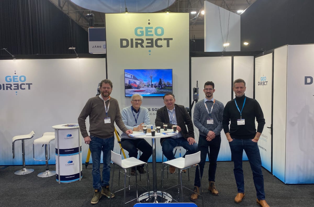
Last week, InfraTech 2025 was all about innovation and Geodirect was proud to make a significant contribution.Under our theme Capturing Reality, we showed you how we connect the physical and digital world with geodata.We look back on an inspiring exhibition where Digital Twins, drones and advanced measurement equipment took centre stage.
Innovative technology for construction & infra
During the exhibition, you were able to experience how Stonex GPS surveying equipment and Robotic Total Stationscontribute to the accurate recording of cables and pipes according to DSP and NLCS++ standards. These solutions make your work more efficient and accurate.
In addition, we proudly presented our exclusive dealership with DJI Enterprise for the Survey & Mapping vertical market . The new DJI Matrice 4 Series drone offers unprecedented capabilities for mapping and inspections. With a longer flight time, improved cameras and intelligent sensors, this drone sets a new standard in professional applications.
Collaborations that make a difference
At the show, we also highlighted our partnerships with Radiodetection and MyCumulus. With Radiodetection, we offer advanced cable detection solutions, while MyCumulus provides efficient mobile data collection and integration with RTK GNSS receivers. Whether it is DSP data or inspection reports, with our solutions you process data at the touch of a button.
Digital Twins: the future in infra
Our 3D laser scanners and drones attracted a lot of interest. These devices combine precision and ease of use and are ideal for creating Digital Twins. They allow you to digitally capture, simulate and optimise complex infra projects – the future for construction & infra.
Thank you!
We would like to thank you for visiting our stand during InfraTech 2025. Did you miss our stand or would you like to know more about our products? Please contact us at. Together with you, we will build innovative solutions for construction and infrastructure – today and in the future.