
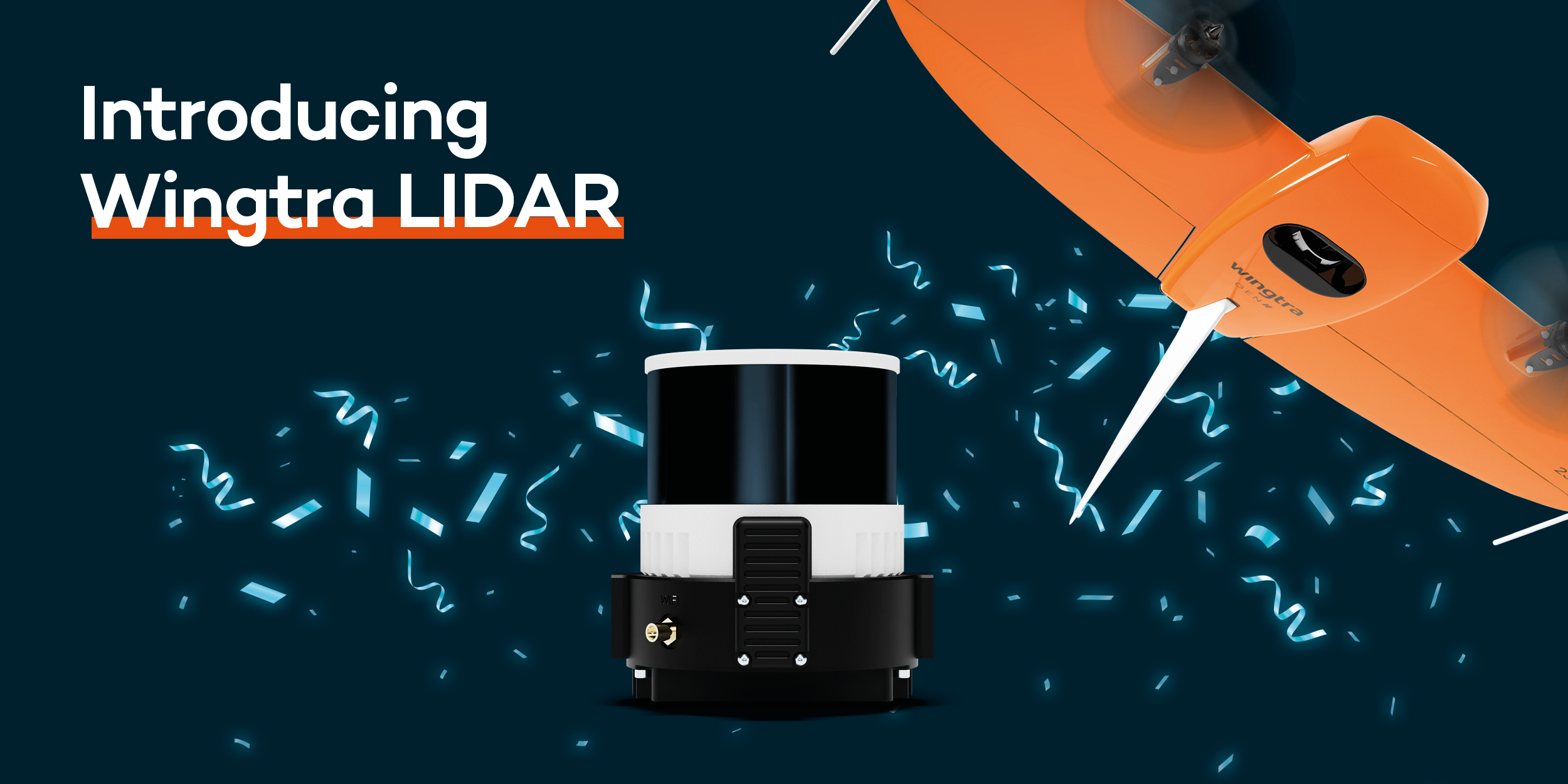
Wingtra LIDAR sets the new standard for aerial data acquisition and surveying. Wingtra LIDAR is unparalleled in efficiency, very user-friendly and highly reliable.
Maximum efficiency
- Map up to 360 ha at 90 m altitude
- One-minute initialisation without calibration
- Streamlined post-processing and fast data processing with the Wingtra LIDAR app
Simplify your workflow
- Flexible data collection and processing
- Simple plug-and-play GEN II platform for photogrammetry
- Take-off and landing anywhere thanks to VTOL (vertical take-off and landing)
Accurate and reliable insights
- Project execution based on highly accurate data
- No costly post-processing required
- Best-in-class Hesai sensor and Inertial Labs IMU LIDAR kit
Easily convert data into models with the Wingtra LIDAR app
The Wingtra LIDAR app is deployable from data acquisition to digital terrain model generation. Seamlessly integrates with the WingtraOne GEN II drone for a streamlined workflow. The intuitive interface makes the app easy to use, so anyone can work with it.

Very versatile
With Wingtra LIDAR, you can map all types of terrain easily and reliably; also under vegetation. This makes Wingtra LIDAR ideally suited for use in construction & infrastructure projects, urban planning and environmental management and ecological management.
Request a demo
Would you like to experience the benefits of Wingtra LIDAR for yourself? Make an appointment for a no-obligation demonstration or call +31 297 769 101.