

The NSGI (Dutch Cooperation for Geodetic Infrastructure) recently issued the advice to switch to the new version RDNAPTRANS2018 as of 1 July 2022. Until October 1, 2022, the old 2008 version may still be used.
RDNAPTRANS Procedure
In the Netherlands, RDNAPTRANS is the official and accurate transformation between the European Terrestrial Reference System 1989 (ETRS89) and the system of the National Triangulation (RD) with height relative to the Normal Amsterdam Level (NAP).
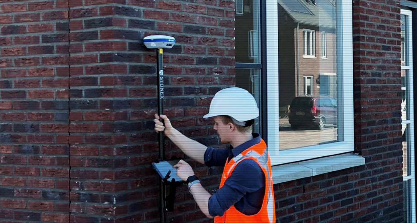
For the best surveying results, most Stonex users work with the RTK correction network of VRS NEXT. The coordinates of the reference stations of VRS NEXT are calculated annually by Kadaster and Rijkswaterstaat and certified in ETRS89. Using network RTK corrections, the accurate positions of the Stonex GNSS are automatically determined in ETRS89.
What does this mean for me?
The RDNAPTRANS procedure is used in all Geodirect supplied digital surveying applications in combination with Stonex GNSS equipment to transform the ETRS89 obtained via VRS NEXT into uniform RD coordinates and NAP elevations.
If you use software for Android or iOS supplied by Geodirect, RDNAPTRANS2018 is already installed via an over-the-air update. If you are still using SurvCE or FieldGenius for Windows Mobile, you can contact our Support department for help updating the software.
Benefits of RDNAPTRANS201
The transition to RDNAPTRANS2018 provides a better connection to NAP. Averaged over the Netherlands, GNSS users can experience a systematic difference in height (Z value) of more than one centimeter. In almost all locations you will end up lower than before compared to NAP.
The differences in RD coordinates (X,Y) between the old and new RDNAPTRANS version are much smaller, only a few millimeters.