
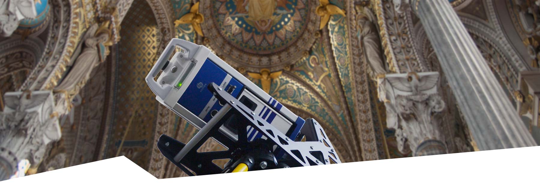
Stonex XVS
Discover the state-of-the-art XVS vSLAM 3D Scanner, a next-generation photogrammetry solution that seamlessly integrates high-resolution imagery, inertial systems and a sophisticated algorithm. Capture your environment with unparalleled accuracy and watch as a detailed 3D model is effortlessly created using advanced photogrammetric techniques.
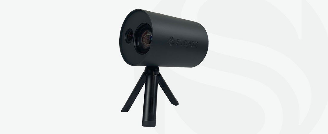
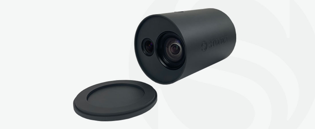
Stonex XVS vSLAM 3D Scanner
Real-time interface
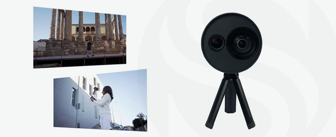
Walk and capture scenes in motion with the real-time interface that guides you through data collection. Receive speed suggestions and be alerted to return to specific areas for optimal image overlap.
Visual SLAM System
Experience your trajectory in real time on a tablet thanks to the Visual SLAM system. The Inertial Measurement Unit (IMU) sensor enhances the algorithm’s ability to generate a continuous image block.
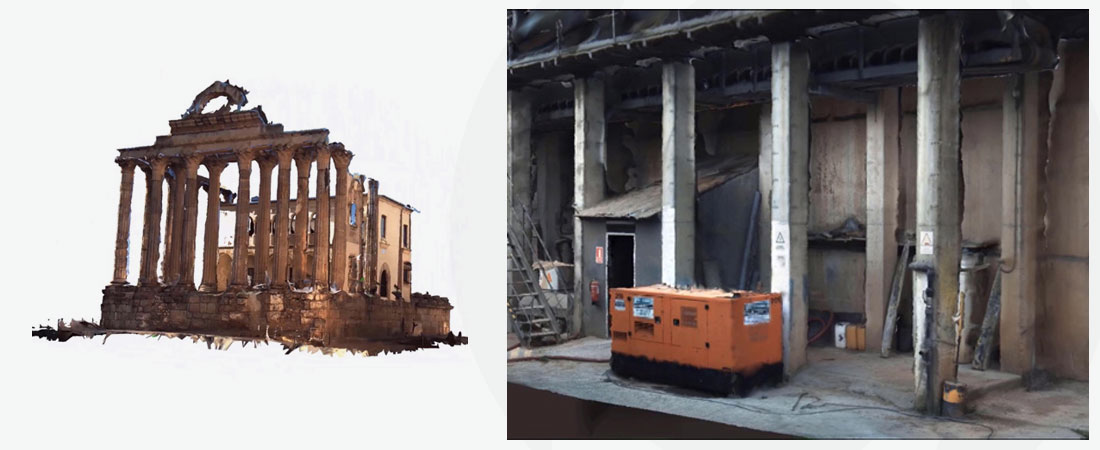
Automatic 3D model generation
Back in the office, enjoy the simplicity of fully automated 3D model creation using a desktop PC. Effortlessly convert captured data into detailed models.
Integration capabilities
Combine data from the XVS scanner with video from UAV drones or any camera to create a comprehensive reconstruction of the area. Enhance your projects with versatile data integration.
Accurate results
Benefit from an intelligent algorithm that selects the best images and increases the accuracy of the derived model. Achieve remarkable precision with 2-3mm accuracy when capturing elements in close proximity.
HD Textures
Use advanced high-resolution images for clear and realistic reconstruction of scanned material textures. Experience unparalleled clarity in your results.
Scaled and leveled results
Automatic target recognition and inertial systems contribute to scaled and leveled results, ensuring the highest accuracy in your projects.
User-friendly and versatile
Designed for practicality and ease of use, the XVS scanner can be operated by multiple people within a company or institution without requiring prior knowledge of 3D scanners. The field application guides users through the data collection process. Document a wide range of urban scenarios including infrastructure, accident reconstruction, gas/water utility work, building facades and more. Ideal for archaeological, architectural and geological projects, the XVS scanner delivers exceptional geometric accuracy and colour realism.
Bundled software
Stonex XVSapp
The included software has a user-friendly interface that guides users through critical steps and alerts them if the object is not being captured correctly. Fully customisable camera parameters adapt to the environment.
Stonex XVScloud
Send collected data to the server for further processing. The XVScloud service returns point cloud or mesh formats compatible with Cube-3d or any third party software.
Experience the future of photogrammetry with the XVS vSLAM 3D scanner – where precision meets simplicity.
CHARACTERISTICS
- Visual SLAM System
- Automatic 3D model generation
- Scaled and leveled results
- User-friendly and versatile instrument
- Bundled software: XVSapp and XVScloud
DOWNLOADS
MORE INFORMATION?
Would you like to know more about our 3D scanners, or make an appointment for a demonstration? Contact us via the buttons below or call directly on telephone number +31 297 769 101.