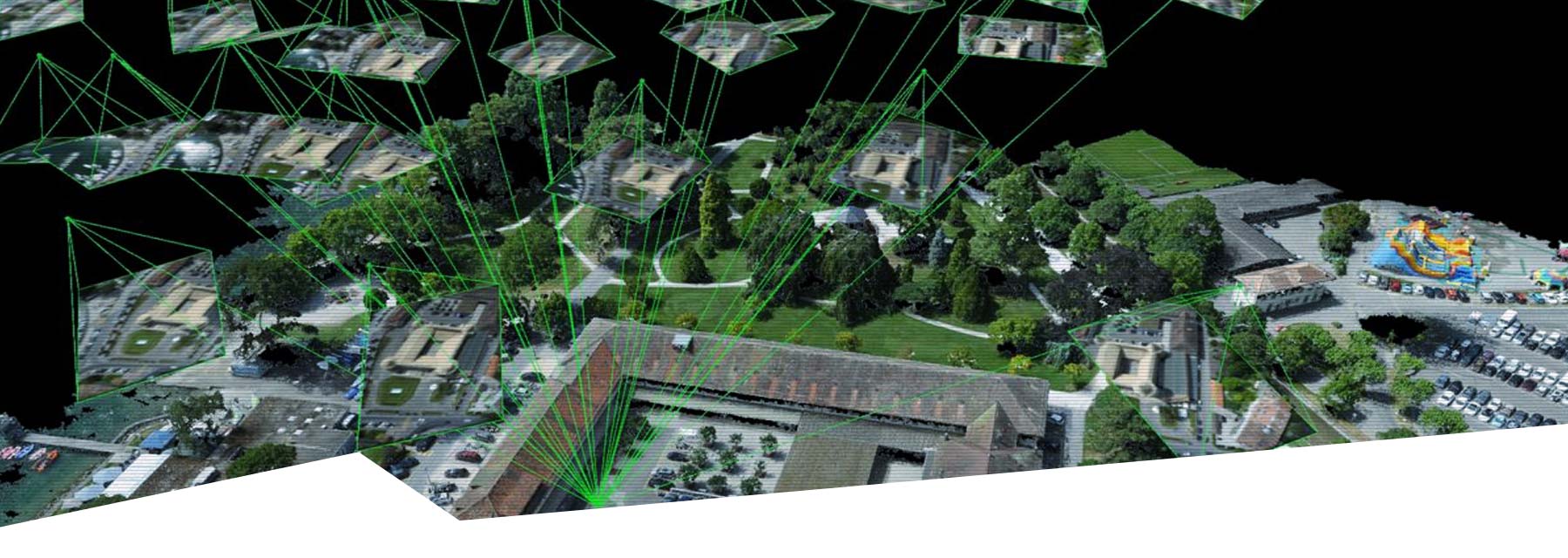
Our drone software solutions are used by users all over the world from planning flight missions to generating point clouds, digital terrain models, orthophotos and many other products based on aerial photogrammetry.
By using our drone mapping solutions, companies active in sectors such as civil engineering, agriculture and horticulture, archaeology and water management can literally take their work to a higher level.