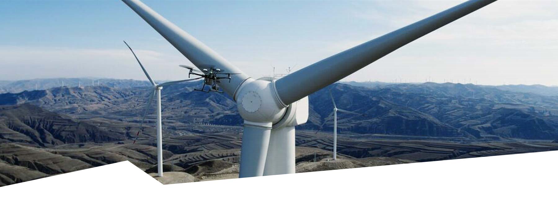
Our drones excel in inspection and drone mapping applications, leveraging aerial photogrammetry for precise results. They eliminate the need for surveyors to spend days or weeks manually traversing survey areas, instead providing efficient data collection and modelling.
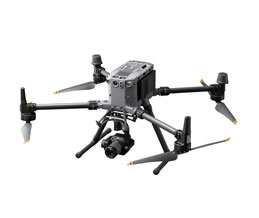
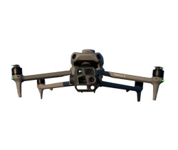
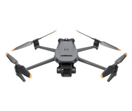
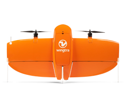
Based on the extensive experience of our customers and countless successful projects, we’ve curated a range of drones that are perfectly suited for these tasks. Our offering includes top-of-the-range options such as professional DJI Enterprise drones, ideal for small-scale surveys, and for unparalleled accuracy, the WingtraOne VTOL drone, tailored for both small and large-scale operations. Each drone is fully configurable to meet your specific needs and requirements.