
Wingtra One
With the WingtraOne GEN II, you have a powerful mapping drone that allows you to carry out surveying projects faster, more accurately and at lower cost. Combining advanced technology, ease of use and precision, this drone is ideal for large-scale applications such as infrastructure projects, mining and construction sites. With a single flight, you can map large areas, with the data immediately ready for further analysis. The WingtraOne allows you to complete projects faster, saving time and costs.
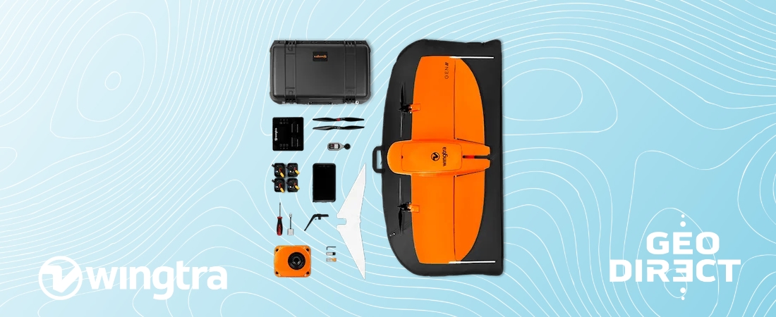
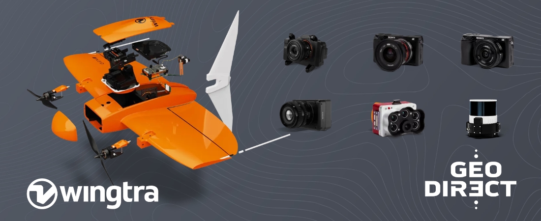
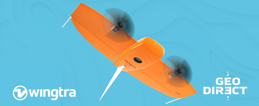
WingtraOne GEN II VTOL Drone
Collect your data faster and reduce project costs
The WingtraOne GEN II stands out for its fast data collection and efficient flight planning. With a flight time of up to 59 minutes per flight and a flight speed of 16 m/s, you cover large areas in a fraction of the time required by traditional surveying methods. The 61 MP full-frame camera captures razor-sharp images with ground resolution (GSD) of up to 0.7 cm/px, allowing you to accurately capture every detail.
Thanks to the integrated PPK GNSS technology, you hardly need to explain ground control points. With just a few checkpoints, you guarantee the accuracy of your measurement results, which not only saves time but also increases productivity.
Always reliable and detailed survey results
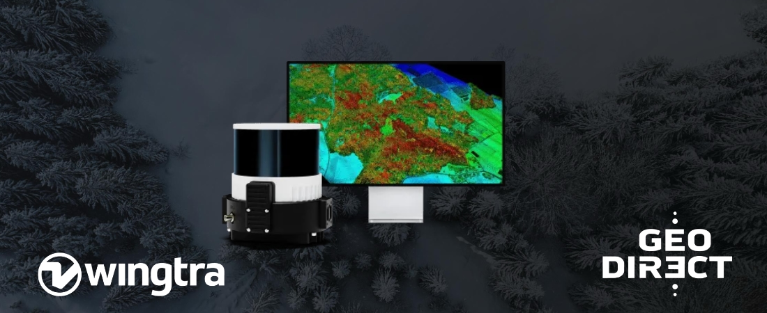
WingtraOne delivers consistently accurate data even under challenging conditions. For photogrammetry, you achieve a GSD of up to 0.7 cm/px, resulting in razor-sharp aerial images with high precision. For LiDAR applications, the drone offers point density of up to 270 points per square metre and vertical accuracy of up to 3 cm. This ensures detailed models and maps, regardless of the size or complexity of your project.
Whether it is roads, industrial complexes or construction sites, WingtraOne provides data that can be used immediately for advanced analysis.
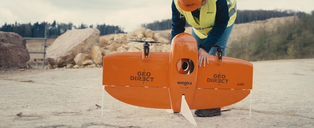
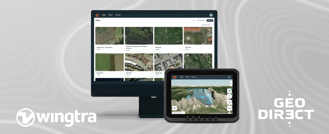
User-friendly drone, ready from day one
The WingtraOne GEN II is designed for ease of use. Even without extensive drone experience, you can get up and running quickly. Thanks to the intuitive WingtraPilot app and the included rugged tablet, you effortlessly plan flights, with the drone performing its mission fully automatically.
With minimal training, you can start immediately and collect efficient data from day one. The software guides you through every step, from flight planning to data processing, so you can continue working without interruptions.
Collaborate and increase productivity with WingtraCLOUD
WingtraCLOUD allows you to synchronise projects in real-time between different devices and locations. This allows your team to always work with the latest data, improving collaboration and increasing productivity. The software simplifies flight planning, even in difficult terrain, allowing you to carry out complex missions with confidence.
Need to work in areas without internet connectivity? No problem. You can download offline maps in advance, allowing you to work smoothly even in remote locations.
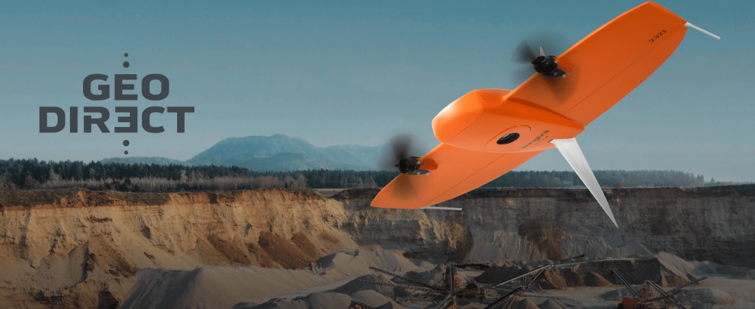
Take off and land wherever you want
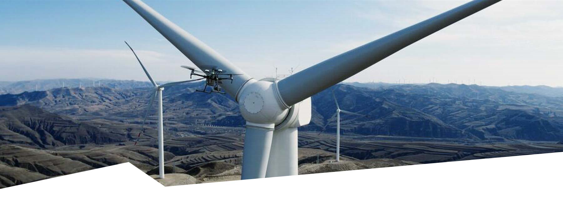
The WingtraOne is designed with Vertical Take-Off and Landing (VTOL) technology, allowing the drone to take off and land in hard-to-reach or rough terrains. This makes the drone perfect for use on construction sites, mines and other locations where traditional drones struggle. It also keeps the camera protected from dirt and damage, extending the life of your equipment.
Reliable performance for continuous use
Every WingtraOne drone is manufactured in Switzerland and undergoes more than 300 quality checks to ensure maximum reliability. With six years of continuous development and more than 100,000 successful flights, the WingtraOne is a proven solution for demanding measurement projects.
Before each flight, the drone performs automatic safety checks on its sensors and systems. In addition, its predictive self-diagnosis prevents unexpected failures by detecting possible malfunctions in time.
Want to experience the benefits of the WingtraOne GEN II for yourself? Contact us for a demonstration or to discuss how this drone can optimise your surveying projects. Find out how you can work faster, more accurately and at lower costs.
CHARACTERISTICS
- Large coverage per flight
- High precision with minimal GCPs
- 61 MP full-frame camera for detailed images
- VTOL (Vertical Take-Off and Landing) design
- Support for both photogrammetry and LiDAR
- User-friendly and intuitive system
- Real-time sync and management with WingtraCLOUD
- Low overlap required for maximum coverage
- Reliable under all conditions
- Automatic safety checks and self-diagnosis
DOWNLOADS
MORE INFORMATION?
Would you like to know more about our drones, or make an appointment for a demonstration? Contact us via the buttons below or call directly on telephone number +31 297 769 101.