
Stonex Cube-3d
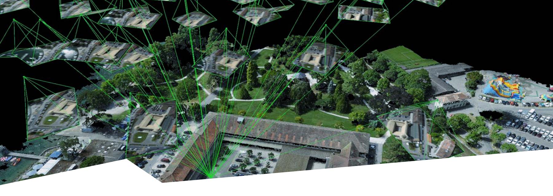
Stonex Cube-3d is a unique photogrammetric drone mapping software solution that generates survey grade 3D metric point clouds based on 2D images of any terrain or object, mapped by using any drone, UAV or camera.
STONEX CUBE-3D SOFTWARE
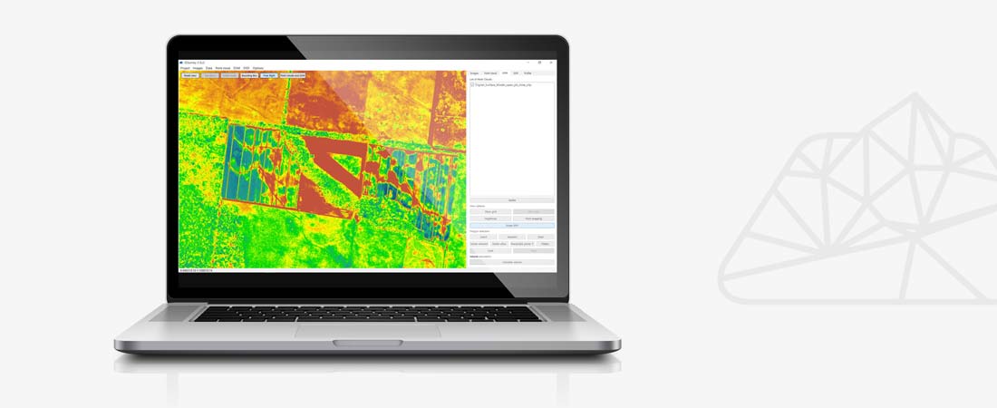
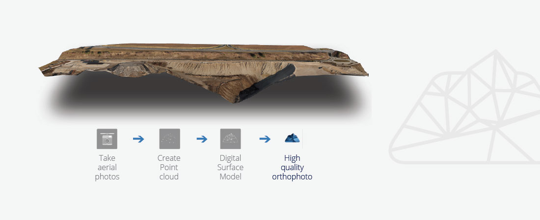
Stonex Cube-3d features convenient tools to manipulate data, measure in 3D point clouds (on the fly), create orthophotos, calculate volumes at the touch of a button, generate fully textured 3D digital terrain models and perform complex geometric calculations, all wrapped in one software solution.
Unlike other drone mapping applications, Stonex Cube-3d is specifically designed for surveyors. By adding the software and a drone as standard measurement equipment, surveyors can take measurements faster and more safely, resulting in a realistic representation of reality and 3D models with greater accuracy and point density than acquired through traditional measurement methods.
For the very best results with Stonex Cube-3d software, we recommend using the WingtraOne, Yuneec professional drones or the Phantom 4 (RTK), combined with a Stonex GNSS receiver for GCP (Ground Control Points) measurement and accuracy validation.
CHARACTERISTICS
- Cube-3d works with any drone and camera
- Surveying tools and accuracy
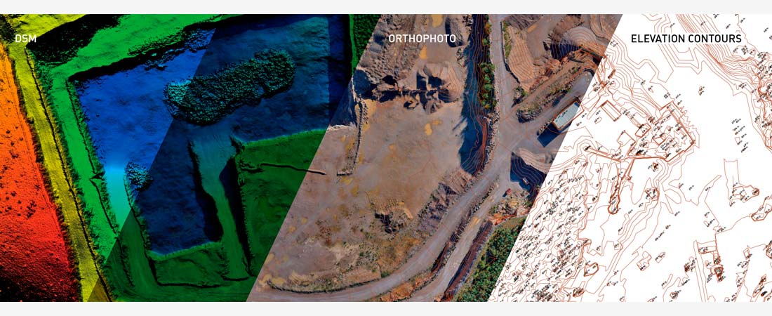
- Generate point clouds, DSM and DOF
- Seamlessly interchangeable with CAD and GIS
- Fully automated object classification
DOWNLOADS
MORE INFORMATION?
Would you like to know more about our drone software, or make an appointment for a demonstration? Contact us via the buttons below or call directly on telephone number +31 297 769 101.