
Geolantis360
The Geolantis360 Collector app is a GNSS (GPS) focused asset collection application that gives field workers access to existing infrastructure, various types of background maps, attribute information and documents. Users are able to map asset data without any surveying knowledge. Using Geolantis360, users can capture the location and characteristics of objects and take geo-referenced photos.
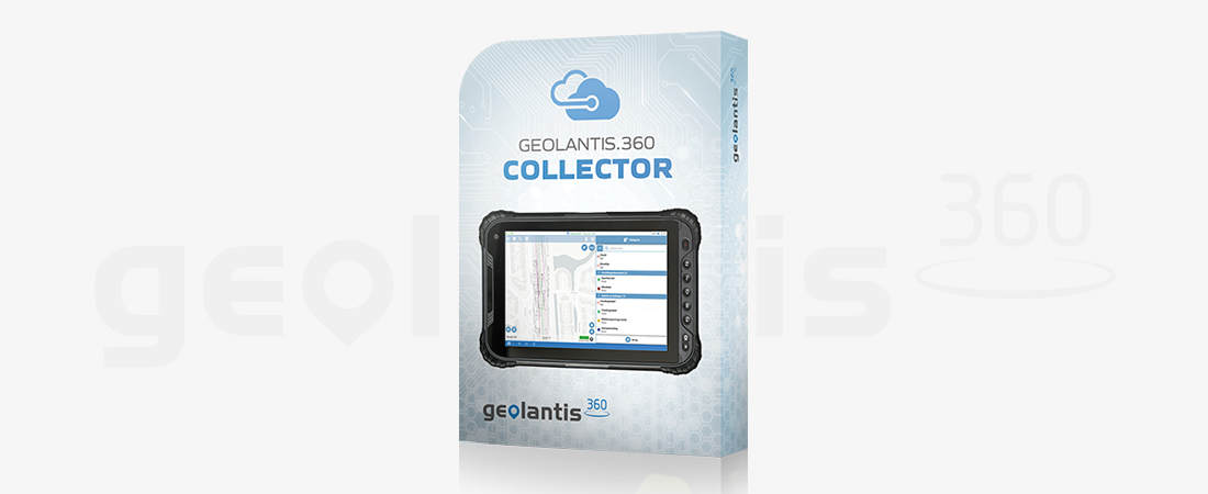
GEOLANTIS COLLECTOR APP
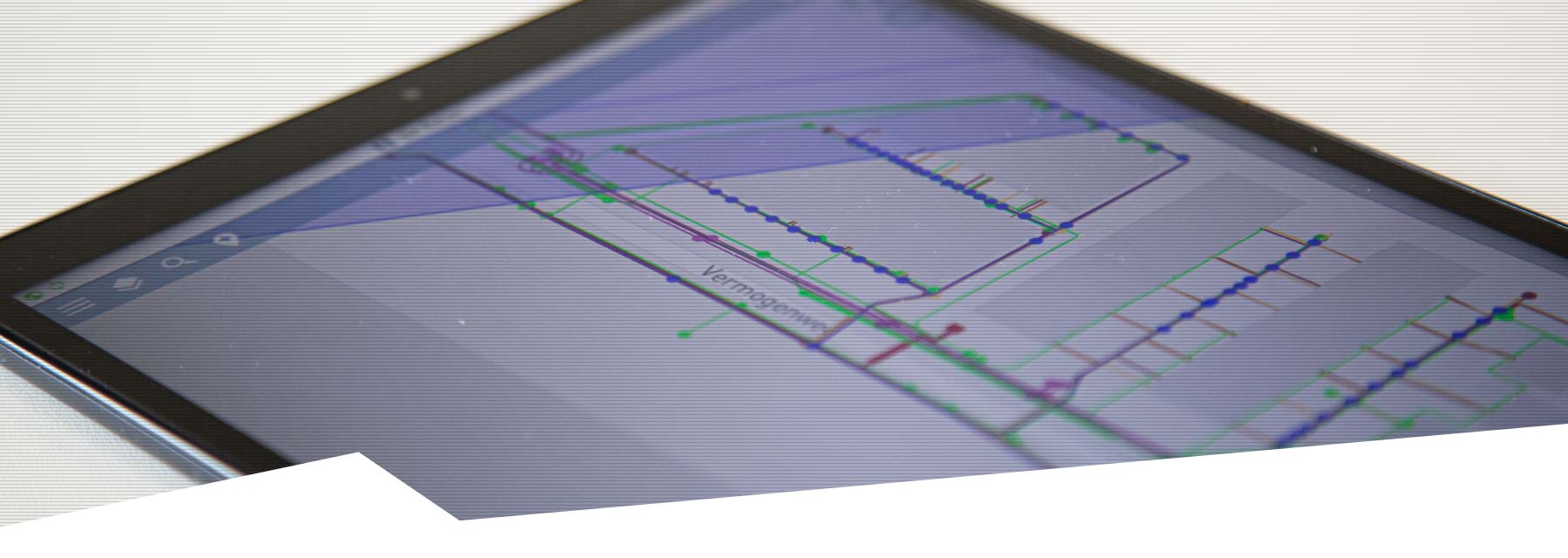
Maps and GPS positioning
High-quality maps combined with accurate GPS positions allow data to be collected quickly and efficiently. This gives the field worker full visibility of existing assets. Increase the efficiency of your field team with the Geolantis360 Collector app.
High accuracy and data quality thanks to metadata
Geolantis360 guarantees the accuracy, quality and integrity of data. It stores all sensor information, software settings and actions for every single measured coordinate. Eliminate guesswork and see how the data was collected.
Cloud-based for quick access to data
The Geolantis360 Collector app provides accurate capture of asset data, including notes and photo documentation, coupled with automatic cloud synchronisation. Geolantis360 prevents data interruption and enables you to work completely paperless.
CHARACTERISTICS
- Easy to use (no surveyor needed)
- Speed up mapping and eliminate post-processing
- Map smart database objects instead of points
- Real-time information via cloud synchronization
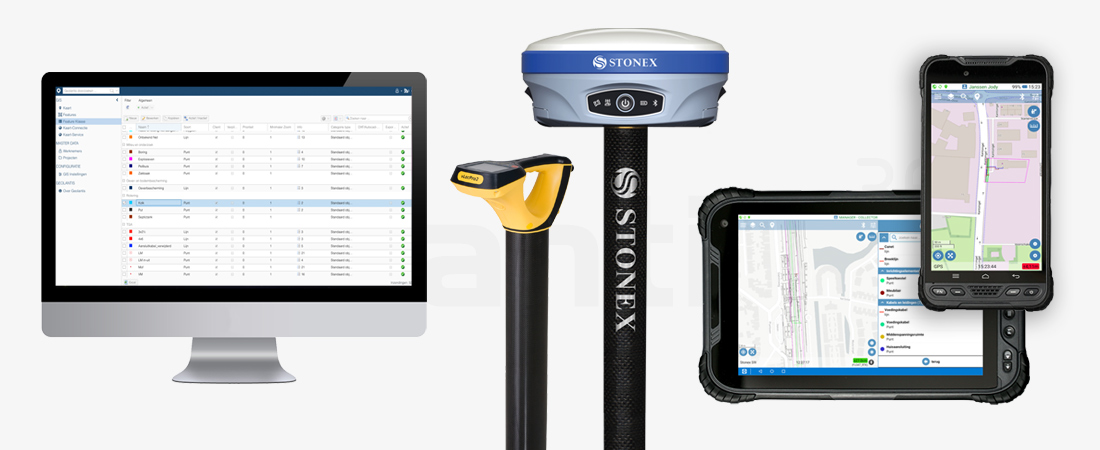
- Connect GNSS receivers, cable sensing equipment, gas pressure gauges and other sensors
MORE INFORMATION?
Would you like to know more about our GIS software, or make an appointment for a demonstration? Contact us via the buttons below or call directly on telephone number +31 297 769 101.