
MyCumulus
Mobile data collection has never been easier! With MyCumulus, you create your own form-based application and can conceive, collect, store and use any type of data, fully tailored to your own operations. MyCumulus is suitable for any organisation involved in collecting geospatial data, processing, reporting and exchanging information.

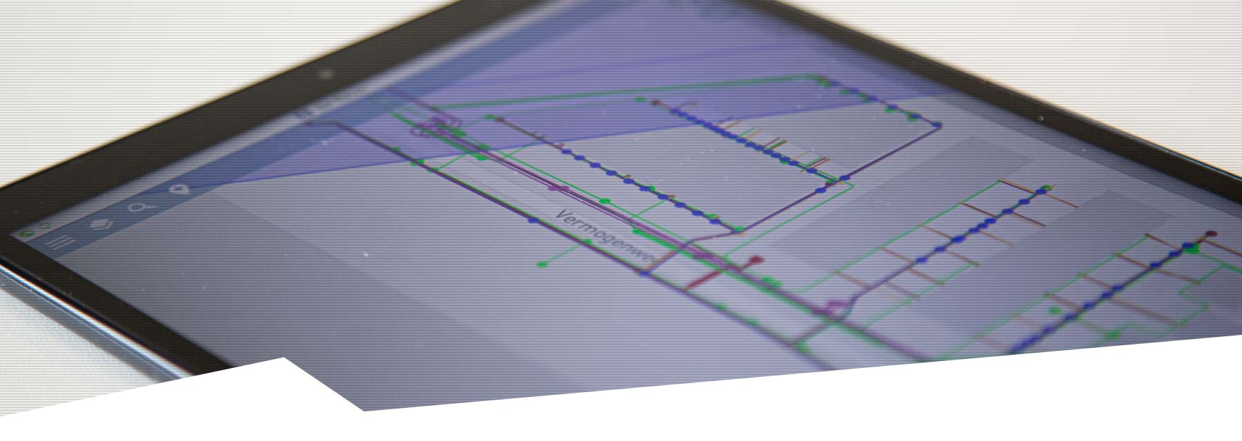
MyCumulus Cloud Data Collection
Your own Cloud solution, fully customisable to your workflow
MyCumulus can be used for a wide range of activities. Some examples of where the software is used include: inspections and inventories by government agencies, environmental field research, locating and surveying underground infrastructure, GIS inventories and acquisition of areal data.
Setting up templates
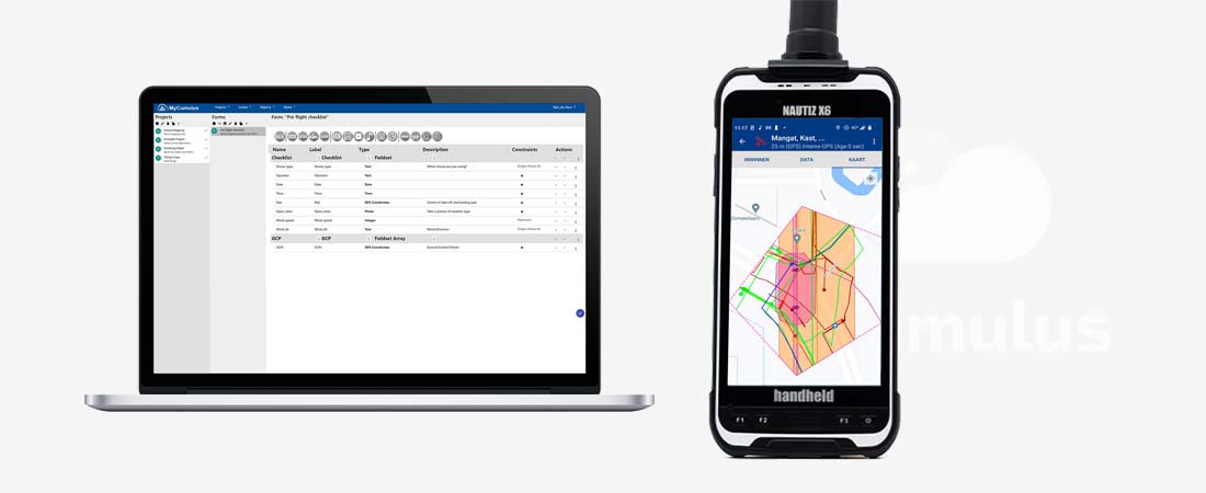
Using the intuitive web interface on the MyCumulus website, you create templates and forms easily from the comfort of your own office or home. You only need to enter fields, labels, descriptions and field types. Fields can have a default value, they can be mandatory and they can have restrictions. Of course, basic templates are available for different applications, so you can get started quickly.
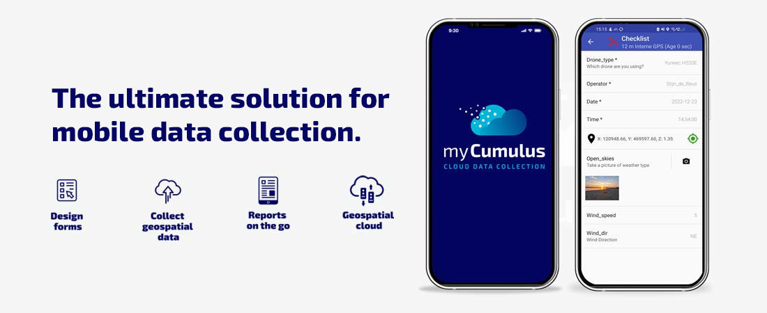
Data collection in the field
Once you have set up projects, templates and forms and assigned fields and users, your employees can start working with the MyCumulus app. Whether they are in the office, on the road or at the project site. The required forms automatically appear on the user’s smartphone, tablet or controller, exactly as composed on the MyCumulus website.
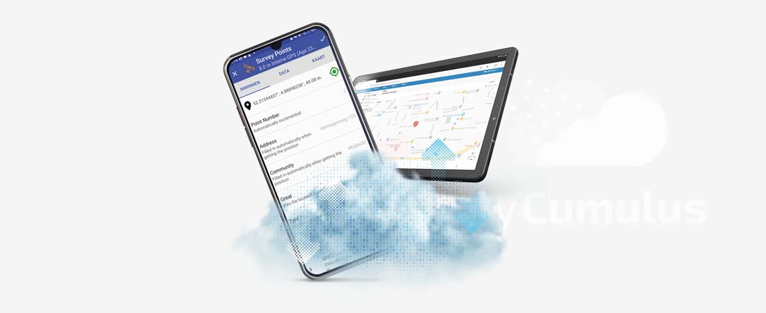
With the MyCumulus app, you simply link your GPS surveying equipment to collect data with the highest precision. Data is automatically synchronised to the MyCumulus server. If there is no or a moderate mobile internet connection, the data is stored locally on the device and immediately synchronised as soon as an internet connection is available again.
Using and exchanging collected data
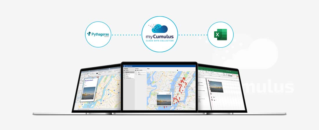
All collected data is saved automatically, either locally or in the MyCumulus Cloud. Once saved, the data is available to anyone with the appropriate rights. Fast, secure and always within reach. Geodata can be exchanged with CAD and GIS software via a direct link and can, of course, also be exported to shape and csv files for further processing in virtually all GIS solutions.
CHARACTERISTICS
- Simple to set up and use
- Suitable for mobile GIS and Surveying
- Form-based, with map view
- Real-time information thanks to Cloud sync
- Compatible with Stonex GIS and GNSS receivers
MORE INFORMATION?
Want to know more about our GIS software, or make an appointment for a demonstration? Get in touch using the buttons below or call us directly on +31 297 769 101.