Year-end promotion: 10% discount on RADIODETECTION cable locators and GPR systems
Safe excavation begins with certainty about what lies beneath the surface. Radiodetection is globally renowned

Statens Vegvesen needed to survey a mountain route in Norway for maintenance and safety purposes. The area consisted of steep embankments, narrow sections, and hard-to-reach zones along a busy route. Traditional inspection methods were time-consuming and posed risks to personnel working in close proximity to traffic.
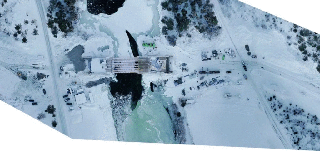
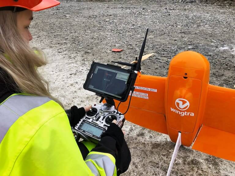
A VTOL drone was used for this project. The aircraft was able to capture the entire route in a single flight, including elevation changes, verges, and embankments. Aerial observation eliminated the need for physical roadside inspections and reduced risks for the team.
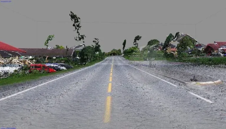
The images of the route were processed into a single, coherent dataset. Analysts were able to use the data immediately for planning and assessing the condition of the route. Since everything was captured in one flight, additional site visits were unnecessary, significantly shortening the project’s lead time.
Through the preparation and deployment of the VTOL platform, the flight was executed efficiently. The combination of range, stability, and data quality made it possible to gather a complete and reliable overview, even in challenging terrain.