
Product category range / webshop
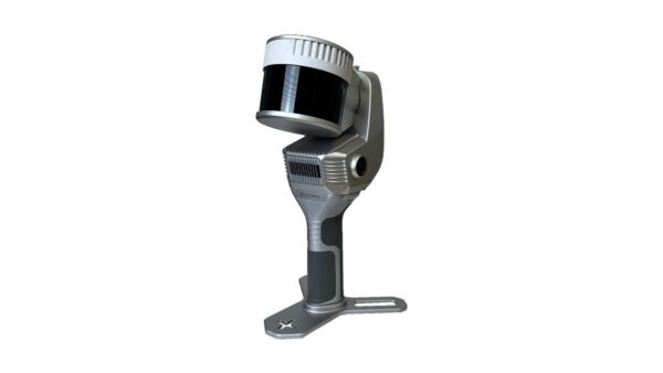
Our UAV payloads make it possible to equip drones with advanced sensors and technology for the efficient collection of accurate data from the air. From LiDAR and photogrammetry to multispectral and other specialized sensors: a suitable payload is available for a wide range of applications. By combining a high-quality payload with a suitable UAV platform, large areas can be captured quickly and accurately. This makes UAV payloads ideal for surveying work, topographical mapping, inspections, infrastructure, construction projects, and monitoring. The collected data can be processed into detailed point clouds, 3D models, orthophotos, and other valuable datasets. As such, our UAV payloads offer a flexible and efficient solution for professionals who want to collect reliable and high-quality geodata from the air.
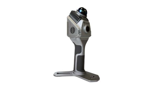
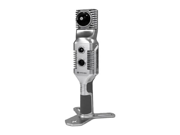
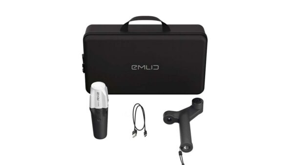
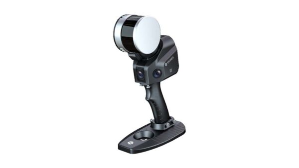
Our Stonex 3D scanners offer unparalleled versatility, making them the optimal solution for virtually any application. Whether for industrial measurements, construction projects, or complex topographic analyses, our scanners provide the flexibility required for diverse and demanding environments. At every stage of scanner development, Stonex strives for the perfect balance between economic efficiency and high-quality data. With fully enclosed housings, our scanners guarantee not only versatility but also the ability to operate in dusty and humid environments. Where other scanners fall short, Stonex 3D scanners excel in producing high-quality point cloud data, even in challenging conditions.
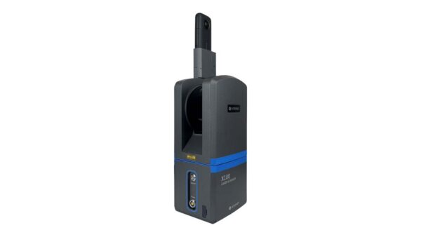
Our terrestrial 3D laser scanners provide a reliable and accurate solution for capturing the physical environment in high-quality 3D data. With advanced laser technology, objects, structures, and terrains can be scanned quickly and in detail, creating accurate point clouds for further processing, analysis, and visualization. Whether for surveying, construction and renovation, industrial inspections, infrastructure, or as-built documentation, terrestrial laser scanners are suitable for a wide range of applications. Thanks to their high accuracy and detailed data, they are ideal for projects where reliable 3D information is essential. From a single scan to the complete mapping of complex environments: our solutions combine speed, accuracy, and ease of use. This allows you to efficiently collect high-quality 3D data and easily use it for further modeling, inspection, and documentation.
Stonex scanning software for 3D data processing, including Reconstructor and Cube-3D, is compatible with all leading sensors in the world of 3D scanning. To provide an extremely efficient and complete workflow for the end user, full software integration has been achieved with third-party software platforms for photogrammetry, BIM, GIS, and 3D modeling. For volumetric scanners, Echo is the designated platform; using this software, the 3D model is registered in real-time during the scanning process without requiring any user input. The ability to view the registered model while scanning provides the user with an immediate indication of coverage and insight through an automatic evaluation of scan quality, optimizing both the final result and the workflow.
demo
Then sign up now for our monthly newsletter full of insights.
Save time and money while achieving centimeter-
level accuracy with Geodirect
solutions.
Whether it involves scanning, measuring, detecting, or positioning, you will find a suitable solution for every project with our wide range of geospatial solutions.
Our hardware and software solutions enable forward-thinking companies to deliver work faster, smarter, and with higher quality.
©2025 - Geodirect B.V.
Our hardware and software solutions enable forward-thinking companies to deliver work faster, smarter, and with higher quality.
Whether it involves scanning, measuring, detecting, or positioning, you will find a suitable solution for every project with our wide range of geospatial solutions.
©2025 - Geodirect B.V.
Whether it involves scanning, measuring, detecting, or positioning, you will find a suitable solution for every project with our wide range of geospatial solutions.
At Geodirect, we value high-quality implementation for all our hardware and software solutions. That is why you can also rely on us for training, support, and maintenance.
©2025 - Geodirect B.V.
Reception +31 297 769 101
Support Desk +31 297 893 063
Send us an email
Geodirect B.V.
Vermogenweg 107
3641 SR Mijdrecht
The Netherlands
Chamber of Commerce number 51485532
VAT number NL850045538B01
IBAN NL43RABO0157787338
BIC RABONL2U
Do you have any questions or are you looking for specific information?
Our team is ready to support you on working days between 8:30 AM and 5:00 PM.
Call us at +31 297 769 101 or send an email via the contact form.
Reception +31 297 769 101
Support Desk +31 297 893 063
Send us an email
Geodirect B.V.
Vermogenweg 107
3641 SR Mijdrecht
The Netherlands
Chamber of Commerce number 51485532
VAT number NL850045538B01
IBAN NL43RABO0157787338
BIC RABONL2U
Whether it involves scanning, measuring, detecting, or positioning, you will find a suitable solution for every project with our wide range of geospatial solutions.
Reception +31 297 769 101
Support Desk +31 297 893 063
Send us an email
Geodirect B.V.
Vermogenweg 107
3641 SR Mijdrecht
The Netherlands
Chamber of Commerce number 51485532
VAT number NL850045538B01
IBAN NL43RABO0157787338
BIC RABONL2U
Do you have any questions or are you looking for specific information?
Our team is ready to support you on working days between 8:30 AM and 5:00 PM.
Call us at +31 297 769 101 or send an email via the contact form.
Our team is ready to support you on working days between 8:30 AM and 5:00 PM.
©2025 - Geodirect B.V.
Whether it involves scanning, measuring, detecting, or positioning, you will find a suitable solution for every project with our wide range of geospatial solutions.
Our hardware and software solutions enable forward-thinking companies to deliver work faster, smarter, and with higher quality.
©2025 - Geodirect B.V.
Our hardware and software solutions enable forward-thinking companies to deliver work faster, smarter, and with higher quality.
Whether it involves scanning, measuring, detecting, or positioning, you will find a suitable solution for every project with our wide range of geospatial solutions.
©2025 - Geodirect B.V.
Whether it involves scanning, measuring, detecting, or positioning, you will find a suitable solution for every project with our wide range of geospatial solutions.
At Geodirect, we value high-quality implementation for all our hardware and software solutions. That is why you can also rely on us for training, support, and maintenance.
©2025 - Geodirect B.V.
Reception +31 297 769 101
Support Desk +31 297 893 063
Send us an email
Geodirect B.V.
Vermogenweg 107
3641 SR Mijdrecht
The Netherlands
Chamber of Commerce number 51485532
VAT number NL850045538B01
IBAN NL43RABO0157787338
BIC RABONL2U
Do you have any questions or are you looking for specific information?
Our team is ready to support you on working days between 8:30 AM and 5:00 PM.
Call us at +31 297 769 101 or send an email via the contact form.
Reception +31 297 769 101
Support Desk +31 297 893 063
Send us an email
Geodirect B.V.
Vermogenweg 107
3641 SR Mijdrecht
The Netherlands
Chamber of Commerce number 51485532
VAT number NL850045538B01
IBAN NL43RABO0157787338
BIC RABONL2U
Whether it involves scanning, measuring, detecting, or positioning, you will find a suitable solution for every project with our wide range of geospatial solutions.
Reception +31 297 769 101
Support Desk +31 297 893 063
Send us an email
Geodirect B.V.
Vermogenweg 107
3641 SR Mijdrecht
The Netherlands
Chamber of Commerce number 51485532
VAT number NL850045538B01
IBAN NL43RABO0157787338
BIC RABONL2U
Do you have any questions or are you looking for specific information?
Our team is ready to support you on working days between 8:30 AM and 5:00 PM.
Call us at +31 297 769 101 or send an email via the contact form.
Our team is ready to support you on working days between 8:30 AM and 5:00 PM.
©2025 - Geodirect B.V.