DJI Zenmuse L2 – high-quality LiDAR data from a single flight
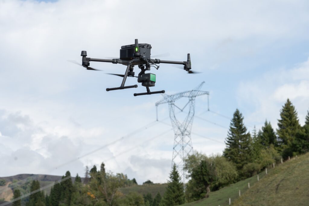
The DJI Zenmuse L2 combines a powerful LiDAR sensor, a high-precision IMU, and a 20 MP RGB camera within a single integrated payload. This allows large areas to be captured quickly with high point cloud density and exceptional accuracy. The Zenmuse L2 is developed for professional applications in surveying, infrastructure, GIS, and asset management.
Centimeter-accurate LiDAR data for professional applications
The Zenmuse L2 delivers vertical accuracy up to 4 cm and horizontal accuracy up to 5 cm. The combination of high-end LiDAR technology, RTK positioning, and a precise IMU results in a reliable dataset immediately suitable for professional geospatial workflows.
Up to 1.2 million points per second
Collect highly detailed point clouds during every flight.
Five returns per laser pulse
Capture both vegetation and the underlying ground surface for accurate terrain models.
Integrated RGB camera
Create colorized point clouds instantly without additional camera flights.
From LiDAR capture to actionable geodata
Combined with DJI Terra, LiDAR data, GNSS data, and RGB imagery are automatically processed into accurate point clouds, terrain models, and 3D data. This creates an efficient workflow for surveying projects, infrastructure management, and digital twins.
Range up to 450 meters
High performance under diverse lighting conditions and at high flight altitudes.
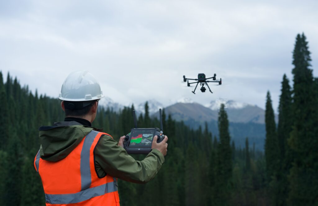
Real-time Point Cloud LiveView
Verify point cloud quality instantly during flight.
IP54 protection
Developed for professional use under various weather conditions.
Compatible with Matrice 350 RTK and Matrice 400
Seamless integration within the DJI Enterprise ecosystem.
From the air, from the ground, underwater, and in the soil, we help you capture reality. With innovative measurement solutions and expertise that truly makes technology work in practice.
Whether it involves scanning, measuring, detecting, or positioning, you will find a suitable solution for every project with our wide range of geospatial solutions.
Whether it involves scanning, measuring, detecting, or positioning, you will find a suitable solution for every project with our wide range of geospatial solutions.
Whether it involves scanning, measuring, detecting, or positioning, you will find a suitable solution for every project with our wide range of geospatial solutions.
Whether it involves scanning, measuring, detecting, or positioning, you will find a suitable solution for every project with our wide range of geospatial solutions.
Whether it involves scanning, measuring, detecting, or positioning, you will find a suitable solution for every project with our wide range of geospatial solutions.
Whether it involves scanning, measuring, detecting, or positioning, you will find a suitable solution for every project with our wide range of geospatial solutions.
At Geodirect, we value high-quality implementation for all our hardware and software solutions. That is why you can also rely on us for training, support, and maintenance.
At Geodirect, we value high-quality implementation for all our hardware and software solutions. That is why you can also rely on us for training, support, and maintenance.
Geodirect B.V. Vermogenweg 107 3641 SR Mijdrecht The Netherlands
Chamber of Commerce number 51485532 VAT number NL850045538B01 IBAN NL43RABO0157787338 BIC RABONL2U
Whether it involves scanning, measuring, detecting, or positioning, you will find a suitable solution for every project with our wide range of geospatial solutions.
Whether it involves scanning, measuring, detecting, or positioning, you will find a suitable solution for every project with our wide range of geospatial solutions.
Whether it involves scanning, measuring, detecting, or positioning, you will find a suitable solution for every project with our wide range of geospatial solutions.
Whether it involves scanning, measuring, detecting, or positioning, you will find a suitable solution for every project with our wide range of geospatial solutions.
Whether it involves scanning, measuring, detecting, or positioning, you will find a suitable solution for every project with our wide range of geospatial solutions.
Whether it involves scanning, measuring, detecting, or positioning, you will find a suitable solution for every project with our wide range of geospatial solutions.
Whether it involves scanning, measuring, detecting, or positioning, you will find a suitable solution for every project with our wide range of geospatial solutions.
Whether it involves scanning, measuring, detecting, or positioning, you will find a suitable solution for every project with our wide range of geospatial solutions.
Whether it involves scanning, measuring, detecting, or positioning, you will find a suitable solution for every project with our wide range of geospatial solutions.
At Geodirect, we value high-quality implementation for all our hardware and software solutions. That is why you can also rely on us for training, support, and maintenance.
At Geodirect, we value high-quality implementation for all our hardware and software solutions. That is why you can also rely on us for training, support, and maintenance.
Geodirect B.V. Vermogenweg 107 3641 SR Mijdrecht The Netherlands
Chamber of Commerce number 51485532 VAT number NL850045538B01 IBAN NL43RABO0157787338 BIC RABONL2U
Whether it involves scanning, measuring, detecting, or positioning, you will find a suitable solution for every project with our wide range of geospatial solutions.