DJI Zenmuse P1 – professional aerial photogrammetry at centimeter level
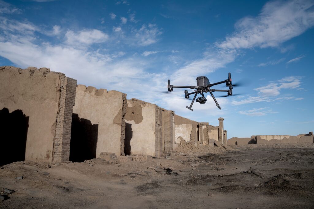
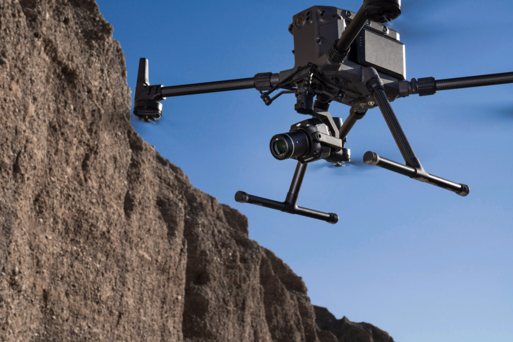
The DJI Zenmuse P1 combines a 45 MP full-frame camera with interchangeable lenses and high-precision time synchronization. This creates a powerful solution for drone mapping, topographic surveys, volume calculations, and 3D modeling. The Zenmuse P1 is developed for surveyors, GIS professionals, and organizations that need to capture large areas quickly and accurately.
Full-frame image quality for maximum accuracy
The 45 MP full-frame sensor delivers exceptionally sharp images with high detail. Thanks to the mechanical shutter, distortions are prevented and accurate geodata can be collected, even at higher flight speeds and larger project areas.
45 MP full-frame sensor
Exceptional image quality for professional photogrammetry and 3D modeling.
Interchangeable 24 mm, 35 mm, and 50 mm lenses
Optimize the configuration for every mapping or inspection application.
Up to 3 km² coverage per flight
High productivity for large-scale surveying projects.
One flight for orthophotos, terrain models, and 3D data
Thanks to Smart Oblique Capture and full integration with DJI Terra, high-quality orthophotos, digital terrain models, and 3D reconstructions can be generated from a single efficient flight mission.
Mechanical shutter
Prevents rolling shutter effects and increases the accuracy of photogrammetric projects.
TimeSync 2.0 technology
Microsecond-level synchronization between camera, RTK, and flight controller.
Smart Oblique Capture
Automatic oblique shots for high-quality 3D models.
RAW and JPEG support
Maximum flexibility for processing and analyzing image data.
From the air, from the ground, underwater, and in the soil, we help you capture reality. With innovative measurement solutions and expertise that truly makes technology work in practice.
Whether it involves scanning, measuring, detecting, or positioning, you will find a suitable solution for every project with our wide range of geospatial solutions.
Whether it involves scanning, measuring, detecting, or positioning, you will find a suitable solution for every project with our wide range of geospatial solutions.
Whether it involves scanning, measuring, detecting, or positioning, you will find a suitable solution for every project with our wide range of geospatial solutions.
Whether it involves scanning, measuring, detecting, or positioning, you will find a suitable solution for every project with our wide range of geospatial solutions.
Whether it involves scanning, measuring, detecting, or positioning, you will find a suitable solution for every project with our wide range of geospatial solutions.
Whether it involves scanning, measuring, detecting, or positioning, you will find a suitable solution for every project with our wide range of geospatial solutions.
At Geodirect, we value high-quality implementation for all our hardware and software solutions. That is why you can also rely on us for training, support, and maintenance.
At Geodirect, we value high-quality implementation for all our hardware and software solutions. That is why you can also rely on us for training, support, and maintenance.
Geodirect B.V. Vermogenweg 107 3641 SR Mijdrecht The Netherlands
Chamber of Commerce number 51485532 VAT number NL850045538B01 IBAN NL43RABO0157787338 BIC RABONL2U
Whether it involves scanning, measuring, detecting, or positioning, you will find a suitable solution for every project with our wide range of geospatial solutions.
Whether it involves scanning, measuring, detecting, or positioning, you will find a suitable solution for every project with our wide range of geospatial solutions.
Whether it involves scanning, measuring, detecting, or positioning, you will find a suitable solution for every project with our wide range of geospatial solutions.
Whether it involves scanning, measuring, detecting, or positioning, you will find a suitable solution for every project with our wide range of geospatial solutions.
Whether it involves scanning, measuring, detecting, or positioning, you will find a suitable solution for every project with our wide range of geospatial solutions.
Whether it involves scanning, measuring, detecting, or positioning, you will find a suitable solution for every project with our wide range of geospatial solutions.
Whether it involves scanning, measuring, detecting, or positioning, you will find a suitable solution for every project with our wide range of geospatial solutions.
Whether it involves scanning, measuring, detecting, or positioning, you will find a suitable solution for every project with our wide range of geospatial solutions.
Whether it involves scanning, measuring, detecting, or positioning, you will find a suitable solution for every project with our wide range of geospatial solutions.
At Geodirect, we value high-quality implementation for all our hardware and software solutions. That is why you can also rely on us for training, support, and maintenance.
At Geodirect, we value high-quality implementation for all our hardware and software solutions. That is why you can also rely on us for training, support, and maintenance.
Geodirect B.V. Vermogenweg 107 3641 SR Mijdrecht The Netherlands
Chamber of Commerce number 51485532 VAT number NL850045538B01 IBAN NL43RABO0157787338 BIC RABONL2U
Whether it involves scanning, measuring, detecting, or positioning, you will find a suitable solution for every project with our wide range of geospatial solutions.