DJI Zenmuse H20N – maximum visibility for day, night, and thermal inspections
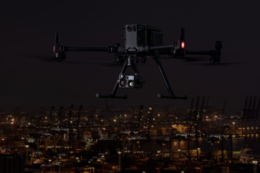
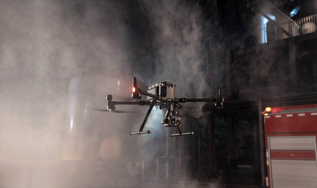
The DJI Zenmuse H20N is developed for inspections and operations in low-light or no-light conditions. The payload combines two starlight cameras, two thermal cameras, and a laser rangefinder within a single integrated system. This provides operators with optimal situational awareness during night inspections, public safety operations, and critical infrastructure inspections.
Starlight cameras for exceptional low-light performance
The Zenmuse H20N features advanced starlight cameras that produce usable images even in extremely limited light conditions. This allows inspections and operations to be conducted without additional lighting, increasing safety and operational flexibility.
Two thermal cameras in one payload
Combine thermal overview and detailed thermal inspection within the same flight.
Starlight night vision cameras
High-quality imaging in minimal ambient light.
Laser rangefinder up to 1,200 m
Accurate distance measurement for inspections, monitoring, and incident management.
Simultaneous visual and thermal information
Thanks to the synchronized display of visual and thermal imagery, operators can identify and locate anomalies faster. This increases efficiency during inspections of energy infrastructure, industrial installations, and public safety operations.
Dual thermal camera
Wide overview and thermal zoom within a single integrated system.
Temperature measurements up to 500°C
Supports radiometric temperature measurements for inspections and analysis.
Split-screen functionality
Visual and thermal images displayed synchronously for rapid interpretation.
IP44 protection
Developed for professional use under diverse conditions.
From the air, from the ground, underwater, and in the soil, we help you capture reality. With innovative measurement solutions and expertise that truly makes technology work in practice.
Whether it involves scanning, measuring, detecting, or positioning, you will find a suitable solution for every project with our wide range of geospatial solutions.
Whether it involves scanning, measuring, detecting, or positioning, you will find a suitable solution for every project with our wide range of geospatial solutions.
Whether it involves scanning, measuring, detecting, or positioning, you will find a suitable solution for every project with our wide range of geospatial solutions.
Whether it involves scanning, measuring, detecting, or positioning, you will find a suitable solution for every project with our wide range of geospatial solutions.
Whether it involves scanning, measuring, detecting, or positioning, you will find a suitable solution for every project with our wide range of geospatial solutions.
Whether it involves scanning, measuring, detecting, or positioning, you will find a suitable solution for every project with our wide range of geospatial solutions.
At Geodirect, we value high-quality implementation for all our hardware and software solutions. That is why you can also rely on us for training, support, and maintenance.
At Geodirect, we value high-quality implementation for all our hardware and software solutions. That is why you can also rely on us for training, support, and maintenance.
Geodirect B.V. Vermogenweg 107 3641 SR Mijdrecht The Netherlands
Chamber of Commerce number 51485532 VAT number NL850045538B01 IBAN NL43RABO0157787338 BIC RABONL2U
Whether it involves scanning, measuring, detecting, or positioning, you will find a suitable solution for every project with our wide range of geospatial solutions.
Whether it involves scanning, measuring, detecting, or positioning, you will find a suitable solution for every project with our wide range of geospatial solutions.
Whether it involves scanning, measuring, detecting, or positioning, you will find a suitable solution for every project with our wide range of geospatial solutions.
Whether it involves scanning, measuring, detecting, or positioning, you will find a suitable solution for every project with our wide range of geospatial solutions.
Whether it involves scanning, measuring, detecting, or positioning, you will find a suitable solution for every project with our wide range of geospatial solutions.
Whether it involves scanning, measuring, detecting, or positioning, you will find a suitable solution for every project with our wide range of geospatial solutions.
Whether it involves scanning, measuring, detecting, or positioning, you will find a suitable solution for every project with our wide range of geospatial solutions.
Whether it involves scanning, measuring, detecting, or positioning, you will find a suitable solution for every project with our wide range of geospatial solutions.
Whether it involves scanning, measuring, detecting, or positioning, you will find a suitable solution for every project with our wide range of geospatial solutions.
At Geodirect, we value high-quality implementation for all our hardware and software solutions. That is why you can also rely on us for training, support, and maintenance.
At Geodirect, we value high-quality implementation for all our hardware and software solutions. That is why you can also rely on us for training, support, and maintenance.
Geodirect B.V. Vermogenweg 107 3641 SR Mijdrecht The Netherlands
Chamber of Commerce number 51485532 VAT number NL850045538B01 IBAN NL43RABO0157787338 BIC RABONL2U
Whether it involves scanning, measuring, detecting, or positioning, you will find a suitable solution for every project with our wide range of geospatial solutions.