DJI Zenmuse L3 – the next generation aerial LiDAR for maximum efficiency
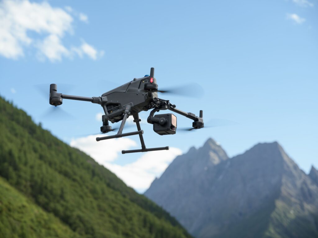
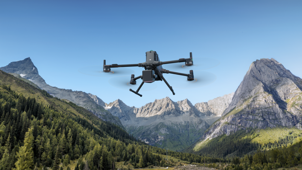
The DJI Zenmuse L3 is an advanced LiDAR payload for the DJI Matrice 400, developed for large-scale geospatial projects. Thanks to an exceptional range, high point density, dual 100 MP RGB cameras, and an extremely accurate positioning system, the Zenmuse L3 delivers high-quality point clouds for surveying, infrastructure management, and digital twins.
LiDAR range up to 2 kilometers for large-scale projects
The Zenmuse L3 utilizes a powerful 1535 nm LiDAR sensor with a range of up to 2,000 meters under optimal conditions. This allows large areas to be captured faster, significantly increasing the efficiency of aerial mapping projects.
Up to 100 km² coverage per day
Capture very large project areas with minimal flight movements.
Dual 100 MP RGB cameras
High-quality color information and exceptionally detailed point clouds.
Centimeter-level LiDAR accuracy
Developed for professional surveying and geospatial applications.
Designed for large-scale geodata acquisition
Thanks to the combination of long-range LiDAR, high-quality RGB data, and advanced positioning, the Zenmuse L3 offers an efficient solution for organizations looking to digitize large areas quickly and accurately.
Up to 16 returns per pulse
Record vegetation, objects, and ground level within the same dataset.
Multiple scan modes
Optimize point density for different project types.
RTK and PPK support
Maximum accuracy for professional geodata projects.
IP54 protection
Suitable for professional use under various weather conditions.
From the air, from the ground, underwater, and in the soil, we help you capture reality. With innovative measurement solutions and expertise that truly makes technology work in practice.
Whether it involves scanning, measuring, detecting, or positioning, you will find a suitable solution for every project with our wide range of geospatial solutions.
Whether it involves scanning, measuring, detecting, or positioning, you will find a suitable solution for every project with our wide range of geospatial solutions.
Whether it involves scanning, measuring, detecting, or positioning, you will find a suitable solution for every project with our wide range of geospatial solutions.
Whether it involves scanning, measuring, detecting, or positioning, you will find a suitable solution for every project with our wide range of geospatial solutions.
Whether it involves scanning, measuring, detecting, or positioning, you will find a suitable solution for every project with our wide range of geospatial solutions.
Whether it involves scanning, measuring, detecting, or positioning, you will find a suitable solution for every project with our wide range of geospatial solutions.
At Geodirect, we value high-quality implementation for all our hardware and software solutions. That is why you can also rely on us for training, support, and maintenance.
At Geodirect, we value high-quality implementation for all our hardware and software solutions. That is why you can also rely on us for training, support, and maintenance.
Geodirect B.V. Vermogenweg 107 3641 SR Mijdrecht The Netherlands
Chamber of Commerce number 51485532 VAT number NL850045538B01 IBAN NL43RABO0157787338 BIC RABONL2U
Whether it involves scanning, measuring, detecting, or positioning, you will find a suitable solution for every project with our wide range of geospatial solutions.
Whether it involves scanning, measuring, detecting, or positioning, you will find a suitable solution for every project with our wide range of geospatial solutions.
Whether it involves scanning, measuring, detecting, or positioning, you will find a suitable solution for every project with our wide range of geospatial solutions.
Whether it involves scanning, measuring, detecting, or positioning, you will find a suitable solution for every project with our wide range of geospatial solutions.
Whether it involves scanning, measuring, detecting, or positioning, you will find a suitable solution for every project with our wide range of geospatial solutions.
Whether it involves scanning, measuring, detecting, or positioning, you will find a suitable solution for every project with our wide range of geospatial solutions.
Whether it involves scanning, measuring, detecting, or positioning, you will find a suitable solution for every project with our wide range of geospatial solutions.
Whether it involves scanning, measuring, detecting, or positioning, you will find a suitable solution for every project with our wide range of geospatial solutions.
Whether it involves scanning, measuring, detecting, or positioning, you will find a suitable solution for every project with our wide range of geospatial solutions.
At Geodirect, we value high-quality implementation for all our hardware and software solutions. That is why you can also rely on us for training, support, and maintenance.
At Geodirect, we value high-quality implementation for all our hardware and software solutions. That is why you can also rely on us for training, support, and maintenance.
Geodirect B.V. Vermogenweg 107 3641 SR Mijdrecht The Netherlands
Chamber of Commerce number 51485532 VAT number NL850045538B01 IBAN NL43RABO0157787338 BIC RABONL2U
Whether it involves scanning, measuring, detecting, or positioning, you will find a suitable solution for every project with our wide range of geospatial solutions.