Emlid Reach RS4 – centimeter accuracy under trees and in urban environments
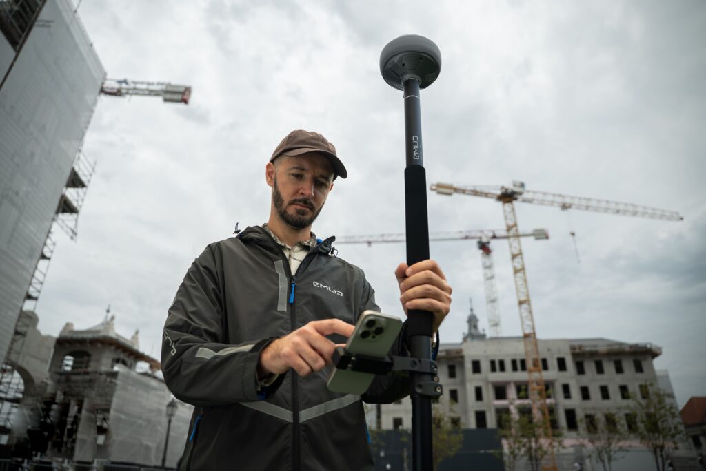
The Emlid Reach RS4 is a professional all-band RTK GNSS receiver for surveyors, GIS specialists, and construction professionals. Supporting all modern GNSS frequencies, advanced tilt functionality, and robust communication options, the RS4 delivers reliable centimeter accuracy, even in locations where traditional GNSS receivers struggle to maintain a stable fix.
All-band GNSS for maximum reliability
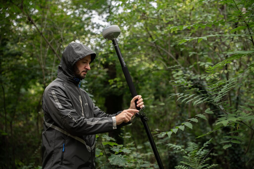
The Reach RS4 receives signals from GPS, GLONASS, Galileo, BeiDou, QZSS, and NavIC on L1, L2, L5, and L6 frequencies. Additional support for L5 and L6 provides better resistance to multipath, interference, and signal reflections. This ensures the receiver continues to perform accurately under tree canopies and in urban environments.
All-band GNSS technology
Support for L1, L2, L5, and L6 frequencies for maximum accuracy and reliability.
Advanced tilt functionality
Measure quickly and accurately without keeping the survey pole perfectly level.
Dual radio integration
Both LoRa and UHF radio for maximum flexibility with RTK corrections.
Integrated workflow with Emlid Flow and Flow 360
The Reach RS4 works seamlessly with Emlid Flow for Android and iOS. Measurements, stakeout tasks, and project data are automatically synchronized with Emlid Flow 360. This ensures field and office staff always have up-to-date project information, creating an efficient digital workflow.
Tilt functionality
Measure objects faster without positioning the survey pole exactly vertically.
Up to 16 hours of battery life
Measure for a full workday without recharging.
IP68 housing
Waterproof and dustproof for daily use under harsh conditions.
16 GB internal storage
Space for long-term logging of GNSS data and project files.
From the air, from the ground, underwater, and in the soil, we help you capture reality. With innovative measurement solutions and expertise that truly makes technology work in practice.
Whether it involves scanning, measuring, detecting, or positioning, you will find a suitable solution for every project with our wide range of geospatial solutions.
Whether it involves scanning, measuring, detecting, or positioning, you will find a suitable solution for every project with our wide range of geospatial solutions.
Whether it involves scanning, measuring, detecting, or positioning, you will find a suitable solution for every project with our wide range of geospatial solutions.
Whether it involves scanning, measuring, detecting, or positioning, you will find a suitable solution for every project with our wide range of geospatial solutions.
Whether it involves scanning, measuring, detecting, or positioning, you will find a suitable solution for every project with our wide range of geospatial solutions.
Whether it involves scanning, measuring, detecting, or positioning, you will find a suitable solution for every project with our wide range of geospatial solutions.
At Geodirect, we value high-quality implementation for all our hardware and software solutions. That is why you can also rely on us for training, support, and maintenance.
At Geodirect, we value high-quality implementation for all our hardware and software solutions. That is why you can also rely on us for training, support, and maintenance.
Geodirect B.V. Vermogenweg 107 3641 SR Mijdrecht The Netherlands
Chamber of Commerce number 51485532 VAT number NL850045538B01 IBAN NL43RABO0157787338 BIC RABONL2U
Whether it involves scanning, measuring, detecting, or positioning, you will find a suitable solution for every project with our wide range of geospatial solutions.
Whether it involves scanning, measuring, detecting, or positioning, you will find a suitable solution for every project with our wide range of geospatial solutions.
Whether it involves scanning, measuring, detecting, or positioning, you will find a suitable solution for every project with our wide range of geospatial solutions.
Whether it involves scanning, measuring, detecting, or positioning, you will find a suitable solution for every project with our wide range of geospatial solutions.
Whether it involves scanning, measuring, detecting, or positioning, you will find a suitable solution for every project with our wide range of geospatial solutions.
Whether it involves scanning, measuring, detecting, or positioning, you will find a suitable solution for every project with our wide range of geospatial solutions.
Whether it involves scanning, measuring, detecting, or positioning, you will find a suitable solution for every project with our wide range of geospatial solutions.
Whether it involves scanning, measuring, detecting, or positioning, you will find a suitable solution for every project with our wide range of geospatial solutions.
Whether it involves scanning, measuring, detecting, or positioning, you will find a suitable solution for every project with our wide range of geospatial solutions.
At Geodirect, we value high-quality implementation for all our hardware and software solutions. That is why you can also rely on us for training, support, and maintenance.
At Geodirect, we value high-quality implementation for all our hardware and software solutions. That is why you can also rely on us for training, support, and maintenance.
Geodirect B.V. Vermogenweg 107 3641 SR Mijdrecht The Netherlands
Chamber of Commerce number 51485532 VAT number NL850045538B01 IBAN NL43RABO0157787338 BIC RABONL2U
Whether it involves scanning, measuring, detecting, or positioning, you will find a suitable solution for every project with our wide range of geospatial solutions.