Stonex R120 Robotic Total Station for efficient and accurate measurement projects
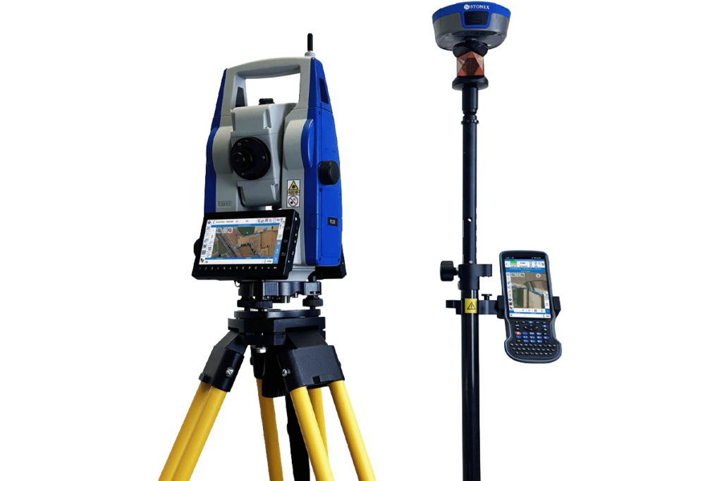
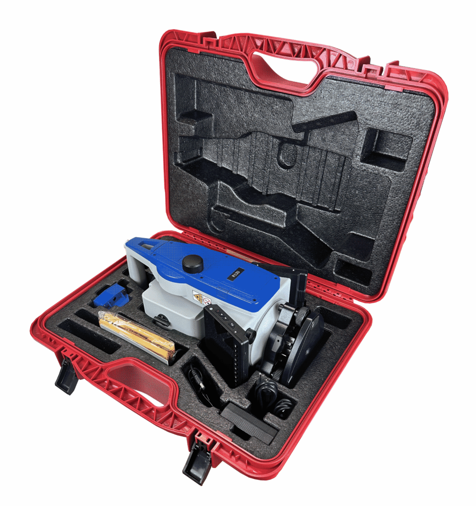
The Stonex R120 is a Robotic Total Station that combines high measurement performance with Android, Cube-a, and advanced automation technology. Thanks to features such as Automatic Prism Centering, automatic prism tracking, and fast servo motors, the R120 works efficiently on construction sites, infrastructure projects, and land surveying assignments.
Automatic Prism Centering for maximum productivity
The Automatic Prism Centering technology continuously analyzes the received signal and automatically centers on the prism. This allows measurements to be performed faster and reduces the risk of measurement errors. In case of temporary prism loss, the system can automatically search and find the prism again, keeping the workflow smooth.
Automatic Prism Centering
Automatic centering of the prism for fast and accurate measurements.
Android and Cube-a
Pre-installed Cube-a software on an Android platform for modern field workflows.
LTE, Bluetooth and Wi‑Fi
Direct communication with GNSS receivers, cloud environments, and office software.
Combined GNSS and Total Station workflows
Thanks to Cube-a, the R120 can easily collaborate with an RTK GNSS receiver. GNSS measurements and Total Station measurements are combined within a single project environment, eliminating the need to merge data afterwards. This makes the R120 ideal for OnePole workflows and complex projects with different measurement methods.
EDM 1 mm + 1 ppm
High distance accuracy with prism for professional surveying applications.
Reflectorless measurement
Reflectorless measurement up to 1,000 meters depending on the version.
Rotation speed 60°/sec
Fast servo motors for efficient prism tracking and positioning.
IP55 protection
Developed for daily use under various weather conditions.
From the air, from the ground, underwater, and in the soil, we help you capture reality. With innovative measurement solutions and expertise that truly makes technology work in practice.
Whether it involves scanning, measuring, detecting, or positioning, you will find a suitable solution for every project with our wide range of geospatial solutions.
Whether it involves scanning, measuring, detecting, or positioning, you will find a suitable solution for every project with our wide range of geospatial solutions.
Whether it involves scanning, measuring, detecting, or positioning, you will find a suitable solution for every project with our wide range of geospatial solutions.
Whether it involves scanning, measuring, detecting, or positioning, you will find a suitable solution for every project with our wide range of geospatial solutions.
Whether it involves scanning, measuring, detecting, or positioning, you will find a suitable solution for every project with our wide range of geospatial solutions.
Whether it involves scanning, measuring, detecting, or positioning, you will find a suitable solution for every project with our wide range of geospatial solutions.
At Geodirect, we value high-quality implementation for all our hardware and software solutions. That is why you can also rely on us for training, support, and maintenance.
At Geodirect, we value high-quality implementation for all our hardware and software solutions. That is why you can also rely on us for training, support, and maintenance.
Geodirect B.V. Vermogenweg 107 3641 SR Mijdrecht The Netherlands
Chamber of Commerce number 51485532 VAT number NL850045538B01 IBAN NL43RABO0157787338 BIC RABONL2U
Whether it involves scanning, measuring, detecting, or positioning, you will find a suitable solution for every project with our wide range of geospatial solutions.
Whether it involves scanning, measuring, detecting, or positioning, you will find a suitable solution for every project with our wide range of geospatial solutions.
Whether it involves scanning, measuring, detecting, or positioning, you will find a suitable solution for every project with our wide range of geospatial solutions.
Whether it involves scanning, measuring, detecting, or positioning, you will find a suitable solution for every project with our wide range of geospatial solutions.
Whether it involves scanning, measuring, detecting, or positioning, you will find a suitable solution for every project with our wide range of geospatial solutions.
Whether it involves scanning, measuring, detecting, or positioning, you will find a suitable solution for every project with our wide range of geospatial solutions.
Whether it involves scanning, measuring, detecting, or positioning, you will find a suitable solution for every project with our wide range of geospatial solutions.
Whether it involves scanning, measuring, detecting, or positioning, you will find a suitable solution for every project with our wide range of geospatial solutions.
Whether it involves scanning, measuring, detecting, or positioning, you will find a suitable solution for every project with our wide range of geospatial solutions.
At Geodirect, we value high-quality implementation for all our hardware and software solutions. That is why you can also rely on us for training, support, and maintenance.
At Geodirect, we value high-quality implementation for all our hardware and software solutions. That is why you can also rely on us for training, support, and maintenance.
Geodirect B.V. Vermogenweg 107 3641 SR Mijdrecht The Netherlands
Chamber of Commerce number 51485532 VAT number NL850045538B01 IBAN NL43RABO0157787338 BIC RABONL2U
Whether it involves scanning, measuring, detecting, or positioning, you will find a suitable solution for every project with our wide range of geospatial solutions.