
Product category range / webshop
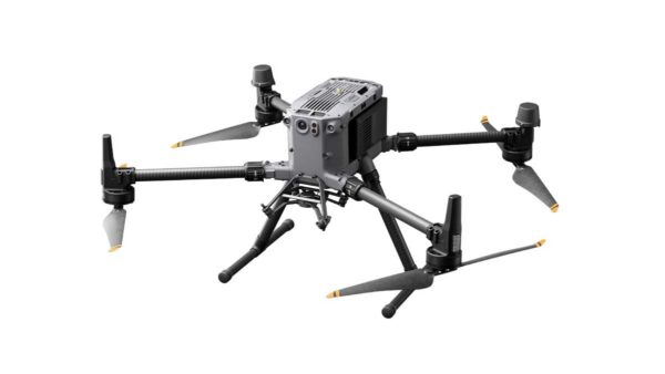
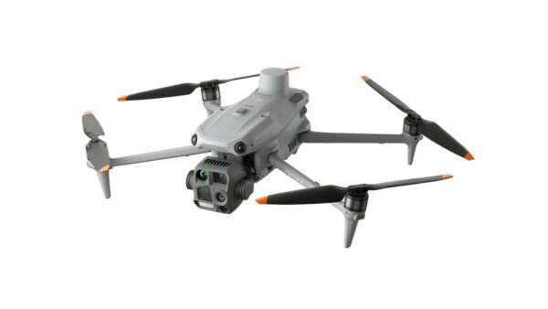
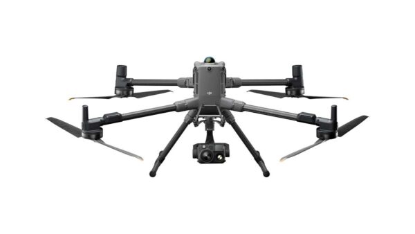
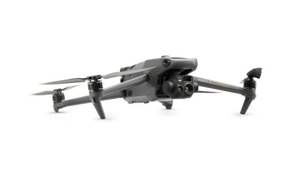
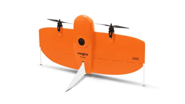
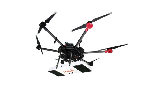
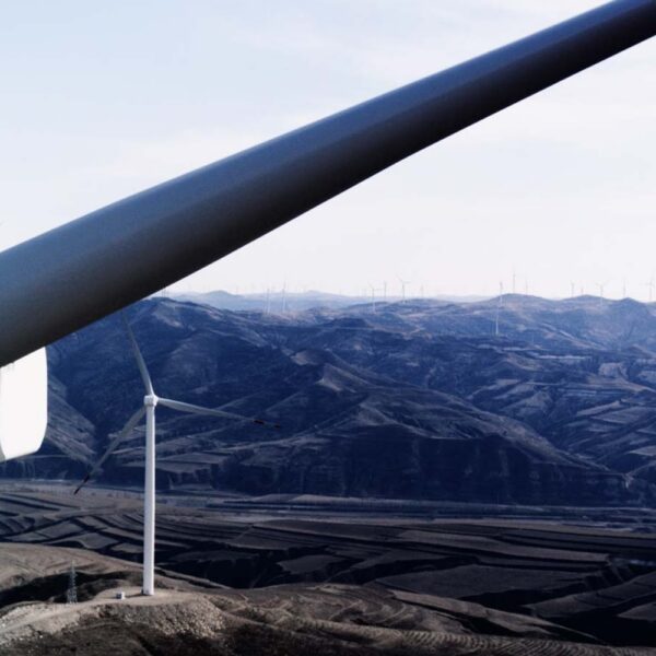
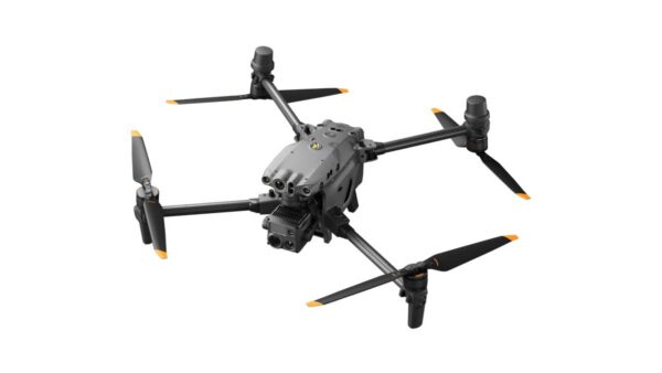
Our drones excel in inspection and drone mapping applications, utilizing aerial photogrammetry for accurate measurement results. They eliminate the need for surveyors to manually traverse measurement sites for days or weeks, ensuring efficient data collection and modeling instead. Based on our customers' extensive experience and countless successful projects, we have curated a range of drones perfectly suited for these tasks. Our offering includes high-quality options such as the professional DJI Enterprise drones, ideal for small-scale surveys, and for unparalleled accuracy, the WingtraOne VTOL drone, designed for both small and large-scale operations. Each drone is fully configurable to meet your specific needs and requirements.
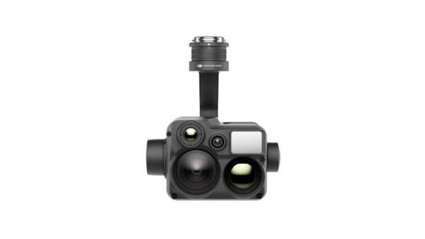
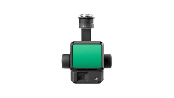
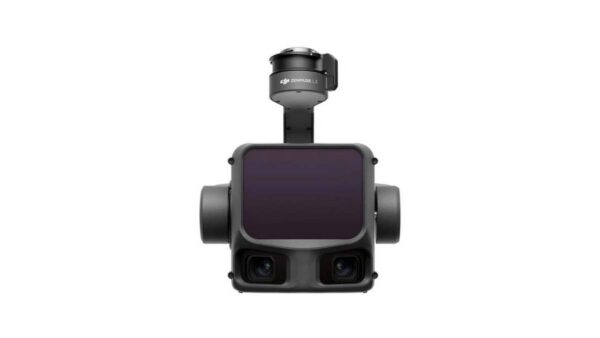
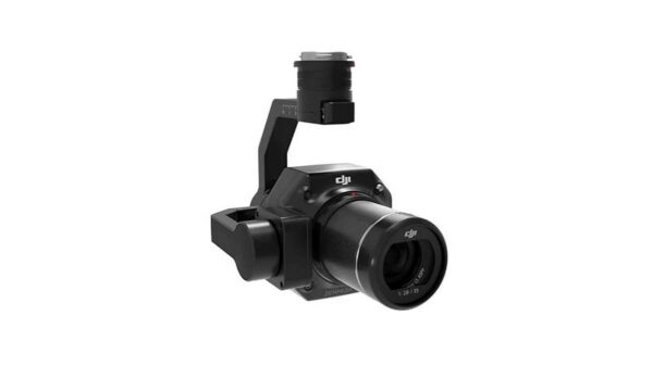
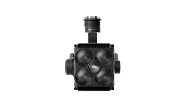
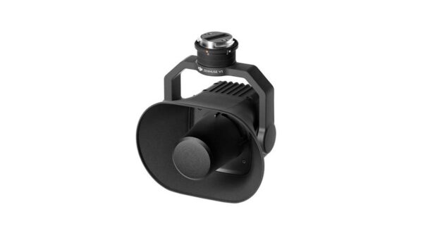
Our drone payloads are used by professionals worldwide for accurate aerial data collection for mapping, inspection, surveying, and monitoring, among others. From RGB and thermal cameras to LiDAR and multispectral sensors, every payload is focused on a specific application and data need. By combining the right payload with a professional drone, companies in sectors such as civil engineering, agriculture and horticulture, archaeology, and water management can take their data collection to the next level.
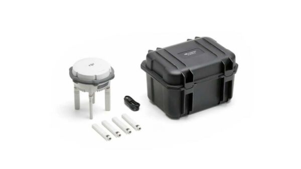
Get more out of every flight with the right drone accessories. From RTK and positioning solutions to accessories for precise data collection: our products help professionals perform drone flights more efficiently, accurately, and reliably. For applications in civil engineering, agriculture and horticulture, archaeology, and water management, we offer accessories that align with professional drone and mapping workflows. This supports optimal preparation, execution, and processing of aerial data.
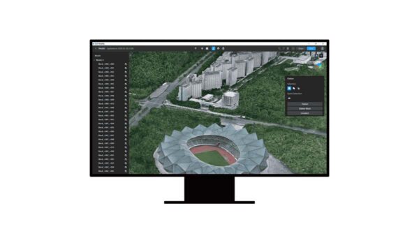
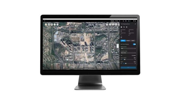
Our drone software solutions are used by professionals worldwide for everything from flight mission planning to generating point clouds, digital terrain models, orthophotos, and many other aerial photogrammetry products. By implementing our drone mapping solutions, companies in sectors such as civil engineering, agriculture, archaeology, and water management can literally take their operations to the next level.
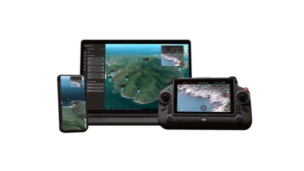
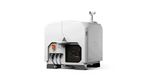
Automate professional drone flights with an advanced drone dock. From a fixed location, drones can be deployed independently for inspections, monitoring, mapping, and other recurring missions. In combination with suitable drones, payloads, and software, drone docks form a complete solution for automated and data-driven drone operations. This allows organizations to work more efficiently, be less dependent on manual flights, and collect aerial data remotely.
demo
Then sign up now for our monthly newsletter full of insights.
Save time and money while achieving centimeter-
level accuracy with Geodirect
solutions.
Whether it involves scanning, measuring, detecting, or positioning, you will find a suitable solution for every project with our wide range of geospatial solutions.
Our hardware and software solutions enable forward-thinking companies to deliver work faster, smarter, and with higher quality.
©2025 - Geodirect B.V.
Our hardware and software solutions enable forward-thinking companies to deliver work faster, smarter, and with higher quality.
Whether it involves scanning, measuring, detecting, or positioning, you will find a suitable solution for every project with our wide range of geospatial solutions.
©2025 - Geodirect B.V.
Whether it involves scanning, measuring, detecting, or positioning, you will find a suitable solution for every project with our wide range of geospatial solutions.
At Geodirect, we value high-quality implementation for all our hardware and software solutions. That is why you can also rely on us for training, support, and maintenance.
©2025 - Geodirect B.V.
Reception +31 297 769 101
Support Desk +31 297 893 063
Send us an email
Geodirect B.V.
Vermogenweg 107
3641 SR Mijdrecht
The Netherlands
Chamber of Commerce number 51485532
VAT number NL850045538B01
IBAN NL43RABO0157787338
BIC RABONL2U
Do you have any questions or are you looking for specific information?
Our team is ready to support you on working days between 8:30 AM and 5:00 PM.
Call us at +31 297 769 101 or send an email via the contact form.
Reception +31 297 769 101
Support Desk +31 297 893 063
Send us an email
Geodirect B.V.
Vermogenweg 107
3641 SR Mijdrecht
The Netherlands
Chamber of Commerce number 51485532
VAT number NL850045538B01
IBAN NL43RABO0157787338
BIC RABONL2U
Whether it involves scanning, measuring, detecting, or positioning, you will find a suitable solution for every project with our wide range of geospatial solutions.
Reception +31 297 769 101
Support Desk +31 297 893 063
Send us an email
Geodirect B.V.
Vermogenweg 107
3641 SR Mijdrecht
The Netherlands
Chamber of Commerce number 51485532
VAT number NL850045538B01
IBAN NL43RABO0157787338
BIC RABONL2U
Do you have any questions or are you looking for specific information?
Our team is ready to support you on working days between 8:30 AM and 5:00 PM.
Call us at +31 297 769 101 or send an email via the contact form.
Our team is ready to support you on working days between 8:30 AM and 5:00 PM.
©2025 - Geodirect B.V.
Whether it involves scanning, measuring, detecting, or positioning, you will find a suitable solution for every project with our wide range of geospatial solutions.
Our hardware and software solutions enable forward-thinking companies to deliver work faster, smarter, and with higher quality.
©2025 - Geodirect B.V.
Our hardware and software solutions enable forward-thinking companies to deliver work faster, smarter, and with higher quality.
Whether it involves scanning, measuring, detecting, or positioning, you will find a suitable solution for every project with our wide range of geospatial solutions.
©2025 - Geodirect B.V.
Whether it involves scanning, measuring, detecting, or positioning, you will find a suitable solution for every project with our wide range of geospatial solutions.
At Geodirect, we value high-quality implementation for all our hardware and software solutions. That is why you can also rely on us for training, support, and maintenance.
©2025 - Geodirect B.V.
Reception +31 297 769 101
Support Desk +31 297 893 063
Send us an email
Geodirect B.V.
Vermogenweg 107
3641 SR Mijdrecht
The Netherlands
Chamber of Commerce number 51485532
VAT number NL850045538B01
IBAN NL43RABO0157787338
BIC RABONL2U
Do you have any questions or are you looking for specific information?
Our team is ready to support you on working days between 8:30 AM and 5:00 PM.
Call us at +31 297 769 101 or send an email via the contact form.
Reception +31 297 769 101
Support Desk +31 297 893 063
Send us an email
Geodirect B.V.
Vermogenweg 107
3641 SR Mijdrecht
The Netherlands
Chamber of Commerce number 51485532
VAT number NL850045538B01
IBAN NL43RABO0157787338
BIC RABONL2U
Whether it involves scanning, measuring, detecting, or positioning, you will find a suitable solution for every project with our wide range of geospatial solutions.
Reception +31 297 769 101
Support Desk +31 297 893 063
Send us an email
Geodirect B.V.
Vermogenweg 107
3641 SR Mijdrecht
The Netherlands
Chamber of Commerce number 51485532
VAT number NL850045538B01
IBAN NL43RABO0157787338
BIC RABONL2U
Do you have any questions or are you looking for specific information?
Our team is ready to support you on working days between 8:30 AM and 5:00 PM.
Call us at +31 297 769 101 or send an email via the contact form.
Our team is ready to support you on working days between 8:30 AM and 5:00 PM.
©2025 - Geodirect B.V.